What is recorded here
In 1185 Dunkerrin was granted to Theobald Butler by Prince John and by 1200 Theobald appears to have beein in possession of these lands (Orpen 1911-20 ii, 102; Gwynn and Gleeson (1961 174-6). Dunkerrin became a manorial town in the Gaelic territory of Éile under Anglo-Norman rule in the thirteenth century. During this…
Read the whole record
From the National Monuments Service (Archaeological Survey of Ireland) record OF045-022
Places near here
Photo credits
- National Inventory of Architectural Heritage
- Maker not stated on source page, en.wikipedia.org
- Maker not stated on source page, ch.pinterest.com
- Maker not stated on source page, www.tripadvisor.com.au
- Maker not stated on source page, monumentalireland.ie
- Maker not stated on source page, www.flickr.com
- Maker not stated on source page, www.tripadvisor.com
- Maker not stated on source page, www.pinterest.com
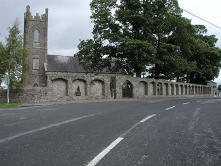 Dunkerrin ChurchChurch/chapel · 35 yd
Explorer Tom Dunkerrin Church was designed by a mother-in-law who had opinions about every single window pane and the lattice work.…
 Church, Grave YardChurch · 35 yd
Explorer Tom Church, Graveyard in Franckfort has a secret it would tell after a few pints about a 1681 death. The graveslab is doing…
 Franckfort CastleCastle, unclassified · 455 yd
Explorer Tom Franckfort Castle in Franckfort has a dog that’s definitely in charge, even if you can’t see it. The datestone says…
 Dunkerrin New CemeteryGraveyard · 456 yd
Explorer Tom Dunkerrin New Cemetery was supposed to be hit by lightning every full moon according to an old prophecy. The sky stayed…
 The RectoryGate lodge · 781 yd
Explorer Tom The Rectory in Franckfort is called The Ink Pot locally, which is either very clever or just plain confusing for anyone…
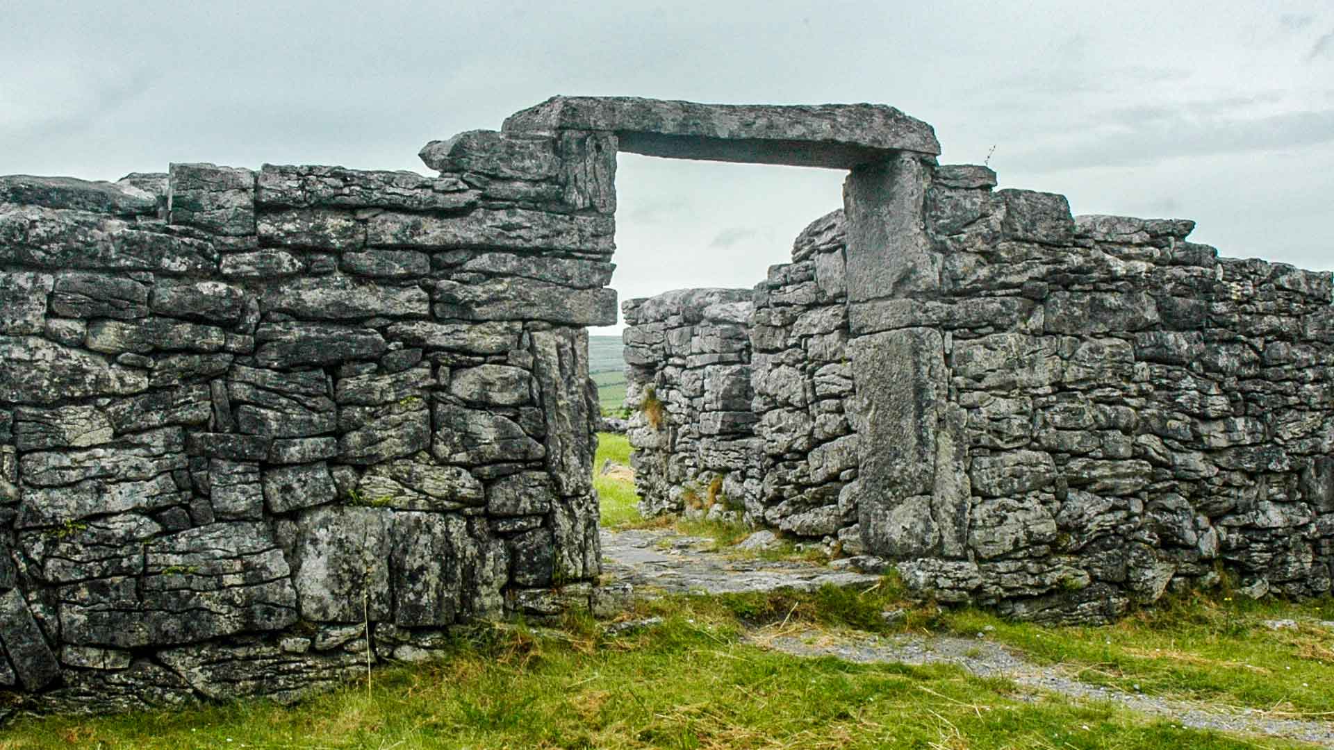 Fairy fort / ringfort in CastleroanFairy fort / ringfort · 1498 yd
Explorer Tom Fairy fort in Castleroan is now a quarry, which is a bit of an overkill. It would complain to the council about all…
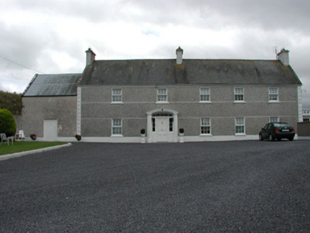 MyrtlegroveFarm house · 1518 yd
Explorer Tom Myrtlegrove is dressed in layers of smooth render and pebbledash, looking like it’s wearing a three-piece suit made of…
 Bullaun stone in LoughanBullaun stone · 1.0 mi
Explorer Tom Bullaun stone in Loughan inspired someone to write a bad poem about its shallow depressions, and it’s still not over…
 Fairy fort / ringfort in ClonagannaghFairy fort / ringfort · 1.1 mi
Explorer Tom Fairy fort / ringfort in Clonagannagh was nearly bought by a cow who thought she had the cash. She lost the argument…
 CastleCastle, unclassified · 1.3 mi
Explorer Tom Castle in Castleroan would write on its dating profile 'looking for someone who doesn’t mind being invisible', and…
 Graveyard in DrumroeGraveyard · 1.7 mi
Explorer Tom Drumroe’s graveyard sits on high ground with a church that has a wobbly north wall. It would describe itself to a…
 Lawn WoodForest · 2.2 mi
Explorer Tom Lawn Wood in County Tipperary had a prophecy that it would turn into gold, but then someone invented the internet and…
More archaeology and monuments in County Offaly · All of County Offaly

What do you know about this place?Tap to add a comment or ask a question