
What is recorded here
In pasture just to the NW of the top of a ridge, with extensive views of the surrounding countryside, and immediately to the SW of a WNW-ESE roadway. This incomplete stone circle (diam. c. 40m) consists of 19 stones arranged in a roughly D-shaped configuration with two stones at ENE, adjacent to the road-side fence,…
Read the whole record
From the National Monuments Service (Archaeological Survey of Ireland) record LF011-007
Places near here
Photo credits
- National Inventory of Architectural Heritage
- Maker not stated on source page, br.pinterest.com
- Maker not stated on source page, roaringwaterjournal.com
- Maker not stated on source page, www.flickr.com
- Maker not stated on source page, commons.wikimedia.org
- 2ManyCats4Me, Wikimedia Commons · CC0
- Granard Motte.png : Smcq Derivative work: Hogweard, Wikimedia Commons · CC BY-SA 3.0
- Maker not stated on source page, www.nps.gov
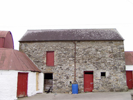 Columbia HouseOutbuilding · 438 yd
Explorer Tom Columbia House outbuilding is having a dramatic standoff with the nearest tree about who has better roots. It’s an old…
 Standing stone in CreevyStanding stone · 856 yd
Explorer Tom Standing stone in Creevy is on a slope and would say it has excellent leadership skills in any job interview. It’s…
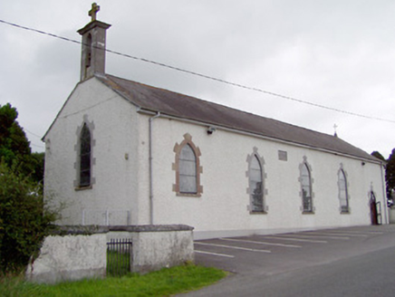 Saint Mary's Catholic ChurchChurch/chapel · 1325 yd
Explorer Tom Saint Mary's Church has strict visitor rules: stand still and don’t touch the stained glass or you’re out. That little…
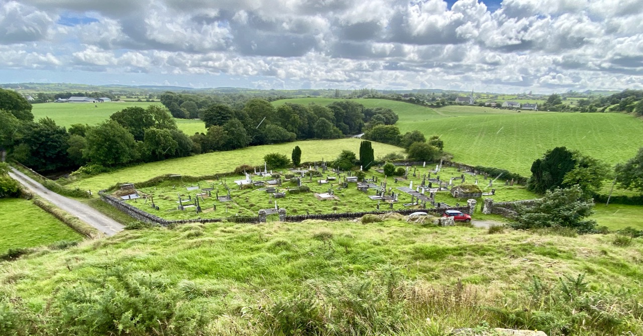 Carragh GraveyardGraveyard · 1356 yd
Explorer Tom Carragh Graveyard thinks the road leading to it is too flashy and demands you walk in with humility. It’s judging your…
 CastleCastle, unclassified · 1732 yd
Explorer Tom Creevy Castle is guarded by a giant who only appears when you’re holding a bag of crisps and looking guilty. Legend…
 Standing stone in CartronboreStanding stone · 1754 yd
Explorer Tom Standing stone in Cartronbore, County Longford got there by mistake because its taxi driver was watching a football…
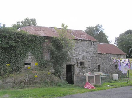 Clooneen MillMill (water) · 1.1 mi
Explorer Tom Clooneen Mill in Clooneen was once ruled by a goat who demanded premium flour as tribute. Now it’s just ruins, but the…
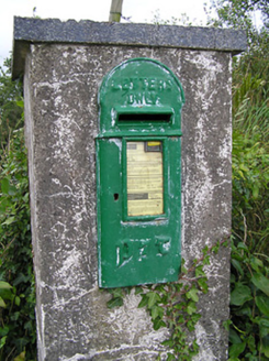 post box1.4 mi
Explorer Tom Post box in Clooneen in County Longford has a resident bird who refuses to leave despite the mailman’s protests. It’s…
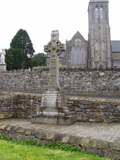 1798 MonumentMonument · 2.0 mi
Explorer Tom The 1798 Monument in Granard uses a Celtic high cross style to tell you about a battle that happened two hundred years…
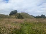 Granard MotteMotte-and-bailey castle remains · 2.1 mi
Explorer Tom Granard Motte would describe the 1800s to a teenager as 'basically a long queue for nothing'. It's just a big mound…
 Moat of GranardCastle, motte and bailey · 2.1 mi
Explorer Tom The local sheep at Granard Moat rate it a solid four stars for grass quality. Richard de Tuit built it in 1199 to fight…
 Granardkill Graveyard (New)Graveyard · 2.5 mi
Explorer Tom Granardkill Graveyard (New) smells strongly of old rain and regret, according to my nose, which is probably wrong but…
More archaeology and monuments in County Longford · All of County Longford

What do you know about this place?Tap to add a comment or ask a question