
Places near here
Photo credits
- National Inventory of Architectural Heritage
- A.-K. D., Wikimedia Commons · CC0
- Willow, Wikimedia Commons · CC BY 2.5
- Golfing in Ireland; photographer not stated, Source publisher
- Zxcode / Wikimedia Commons, commons.wikimedia.org
- Bob Embleton, Wikimedia Commons · CC BY-SA 2.0
- Andreas F. Borchert, Wikimedia Commons · CC BY-SA 4.0
- Maelor at English Wikipedia, Wikimedia Commons · Public domain
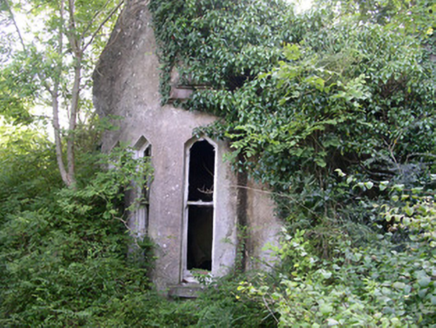 Markree CastleGate lodge · 1124 yd
Explorer Tom The Markree Castle gate lodge in Cloonmacduff is totally overgrown, looking like it’s been swallowed by the undergrowth…
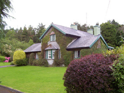 Deerpark LodgeGate lodge · 1301 yd
Explorer Tom Deerpark Lodge gate lodge is constantly being gossiped about by local seagulls who say it looks better than their…
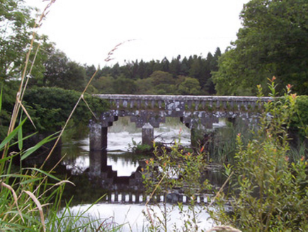 bridge1314 yd
Explorer Tom Bridge in Cloonmacduff has a curse that only affects people who don’t wave back when it splashes water at them, which…
 CrannogeCrannog · 1464 yd
Explorer Tom Crannoge in Ballydawley is basically invisible now, which is hilarious because it used to be a massive stone mound in…
 European ash1626 yd
Explorer Tom European ash in County Sligo was nearly sold as a horse because a farmer mistook its shape for a mane. It’s still…
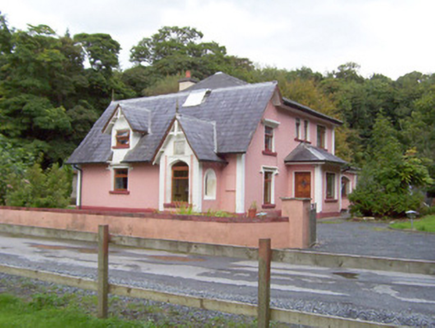 Beehive LodgeGate lodge · 1703 yd
Explorer Tom Beehive Lodge in Union hosted a fake royal visit that nobody can disprove, so we all pretend it happened. It’s got a…
 CloghagadaideStone row · 1760 yd
Explorer Tom Cloghagadaide is three stones in a row, one of which has clearly given up and flopped over. It’s called the Thief’s…
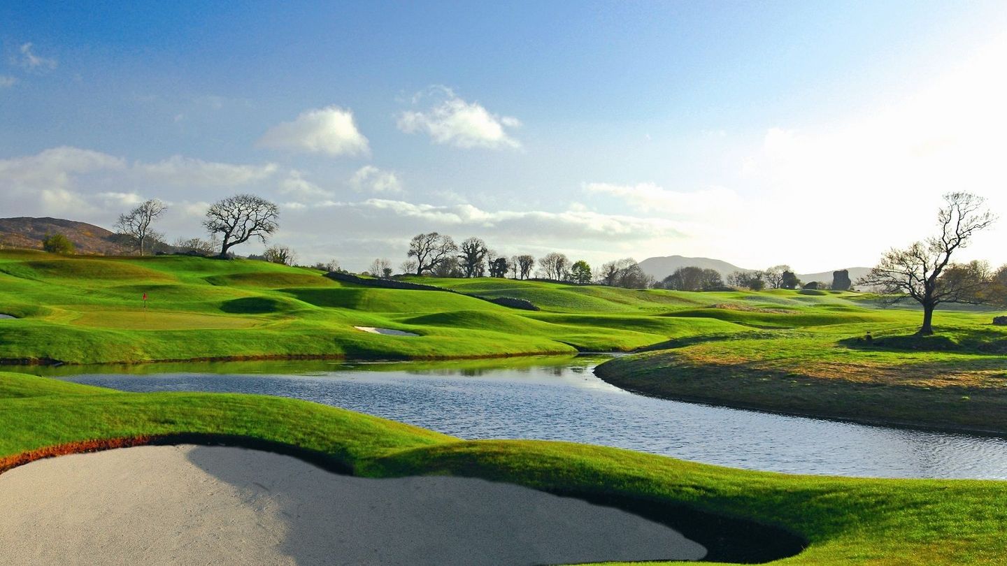 Castle Dargan Golf ClubGolf course · 1.2 mi
 Owenmore Gaels GAA pitchGAA ground · 1.5 mi
 Tobernalt Holy WellSpring · 3.6 mi
Explorer Tom Tobernalt Holy Well lies near Lough Gill in County Sligo, where people come to pray, pause and leave the hurry of the…
 The Cailleach: CarrowmoreLegend location · 4.5 mi
Explorer Tom The Cailleach: Carrowmore is a field of ancient tombs with a woman in the stories powerful enough to shape the land…
 Queen Medb's Cairn: KnocknareaLegend location · 6.4 mi
Explorer Tom Queen Medb's Cairn: Knocknarea sits high on the mountain, and legend gives it a queen for an occupant. It is an…
More archaeology and monuments in County Sligo · All of County Sligo

What do you know about this place?Tap to add a comment or ask a question