What is recorded here
From the National Monuments Service (Archaeological Survey of Ireland) record WM025-084
Places near here
Photo credits
- Maker not stated on source page, www.britainexpress.com
- Maker not stated on source page, commons.wikimedia.org
- National Inventory of Architectural Heritage
- Maker not stated on source page, www.whytes.ie
- Maker not stated on source page, www.flickr.com
 Standing stone in RogerstownStanding stone · 855 yd
Explorer Tom Standing stone in Rogerstown has an imaginary fan club of local farmers who think it’s just a really aggressive rock…
 Taghboyne GraveyardGraveyard · 1086 yd
Explorer Tom Taghboyne Graveyard is incredibly proud of its ability to make your phone signal disappear completely within ten…
 Flat cemetery in RedmondstownFlat cemetery · 1195 yd
Explorer Tom Flat cemetery in Redmondstown was accidentally discovered by a bulldozer that broke its capstone like it was a cheap…
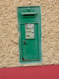 post box1437 yd
Explorer Tom Post box in Gneevestown is wearing Queen Victoria’s crown like a tiny tiara, claiming it once delivered mail to the…
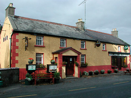 William FoxHouse · 1437 yd
Explorer Tom William Fox in Togherstown was built by a guy who thought he was a genius architect and ended up just making a very…
 water pump1441 yd
Explorer Tom Water pump in Gneevestown is where the fiddler played his heart out all night until the cows started dancing. It’s just…
 Loughnavalley CemeteryCemetery · 1470 yd
Explorer Tom Loughnavalley Cemetery in County Westmeath is hiding a treasure that is definitely just an old biscuit tin full of…
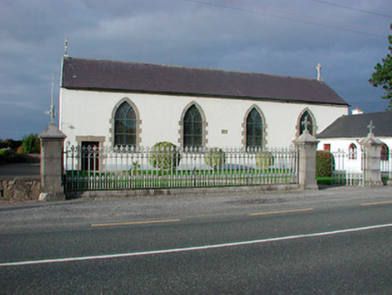 Catholic Church of the AssumptionChurch/chapel · 1527 yd
Explorer Tom Catholic Church of the Assumption in Togherstown is a simple hall-type church that probably glares at anyone who leans…
 RedmondstownDemesne walls/gates/railings · 1590 yd
Explorer Tom Redmondstown in Westmeath is just a fancy gate standing there like a confused doorman without a house to guard. It…
 Stone head in GneevestownStone head · 1599 yd
Explorer Tom Stone head in Gneevestown is stuck in a barn wall like a weird art installation. Someone paid big time for this frowny…
 bridge1.0 mi
Explorer Tom Bridge in Rathnamuddagh had a moment where a fox tried to take charge of the whole operation last Tuesday. It’s been…
 Carn Castle in ruinsCastle, tower house · 1.5 mi
Explorer Tom Carn Castle is secretly proud of the one potato growing in its corner. It’s been guarding that spud for centuries while…
More archaeology and monuments in County Westmeath · All of County Westmeath

What do you know about this place?Tap to add a comment or ask a question