
What is recorded here
Set high up in the wall just below the eaves of a single storey outbuilding is a voussoir with an oval-shaped stone head carved in relief. The carved head has almond-shaped bulbous eyes, a long elongated nose and a narrow slit mouth the ends of which are turned down. This voussoir with its carved head does not appear…
Read the whole record
From the National Monuments Service (Archaeological Survey of Ireland) record WM025-156
Places near here
Photo credits
- Maker not stated on source page, commons.wikimedia.org
- National Inventory of Architectural Heritage
- Photographer not named by Loughnavalley GAA, www.loughnavalleygaa.ie
- Maker not stated on source page, www.vladi-private-islands.de
- Abi Skipp, Wikimedia Commons · CC BY 2.0
- Maker not stated on source page, irisharchaeology.org
- Maker not stated on source page, in.pinterest.com
- Maker not stated on source page, www.flickr.com
 Loughnavalley CemeteryCemetery · 147 yd
Explorer Tom Loughnavalley Cemetery in County Westmeath is hiding a treasure that is definitely just an old biscuit tin full of…
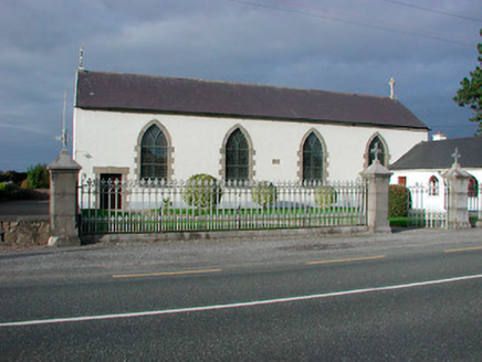 Catholic Church of the AssumptionChurch/chapel · 149 yd
Explorer Tom Catholic Church of the Assumption in Togherstown is a simple hall-type church that probably glares at anyone who leans…
 water pump238 yd
Explorer Tom Water pump in Gneevestown is where the fiddler played his heart out all night until the cows started dancing. It’s just…
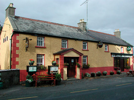 William FoxHouse · 265 yd
Explorer Tom William Fox in Togherstown was built by a guy who thought he was a genius architect and ended up just making a very…
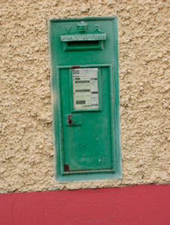 post box274 yd
Explorer Tom Post box in Gneevestown is wearing Queen Victoria’s crown like a tiny tiara, claiming it once delivered mail to the…
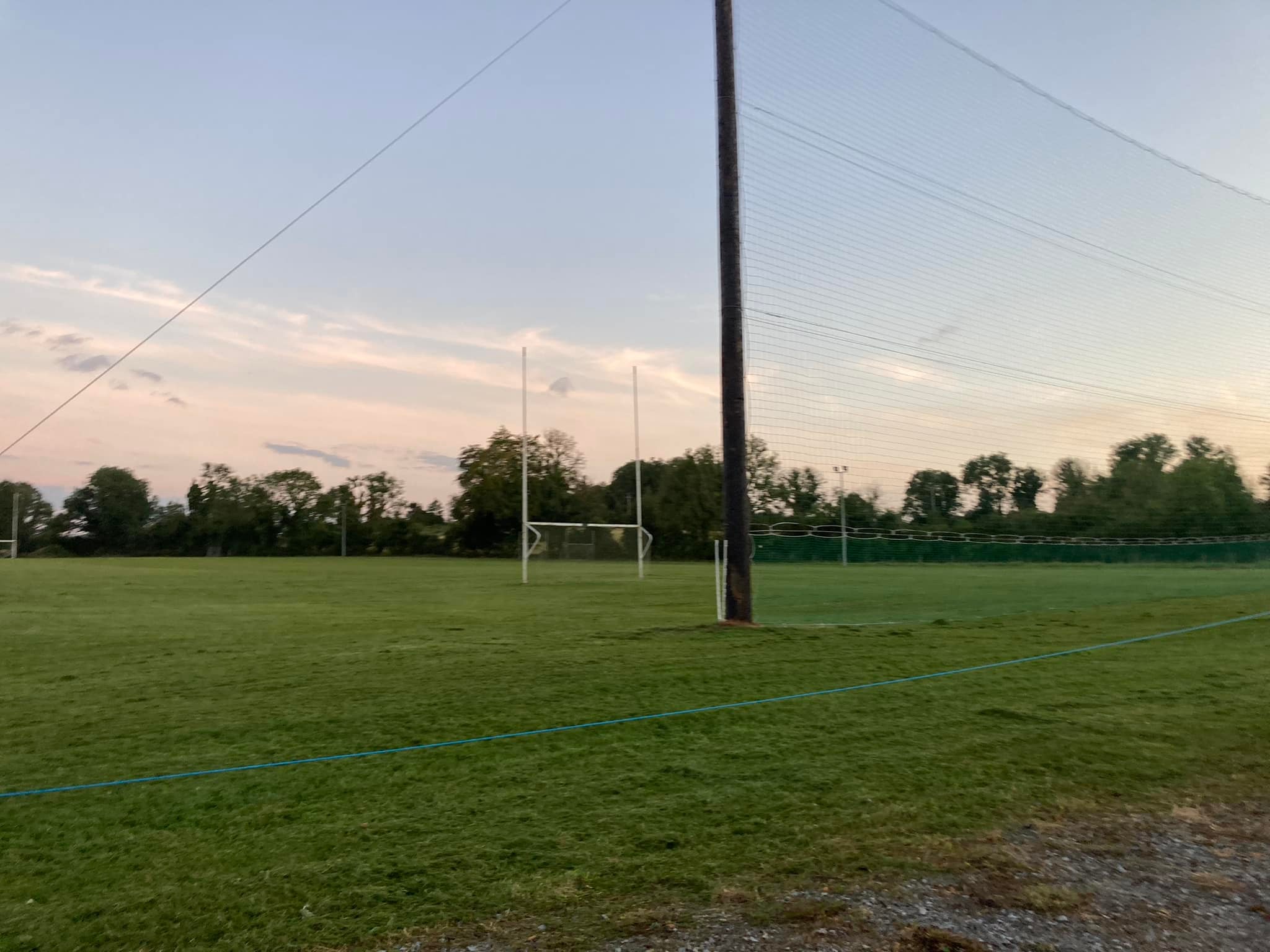 Loughnavalley GAA pitchGAA ground · 809 yd
 Taghboyne GraveyardGraveyard · 1065 yd
Explorer Tom Taghboyne Graveyard is incredibly proud of its ability to make your phone signal disappear completely within ten…
 Boleyvillish Castle in ruinsCastle, tower house · 1.0 mi
Explorer Tom Boleyvillish Castle has an imaginary fan club that meets every Tuesday to argue about whether it was ever actually…
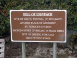 Hill of UisneachMountain / peak · 1.3 mi
Explorer Tom Hill of Uisneach hosted a fake royal visit where the king was actually just a farmer in a hat. It’s the centre of…
 Fairy fort / earthen ringfort in Carn (rathconrath By.)Fairy fort / earthen ringfort · 1.4 mi
Explorer Tom Fairy fort / earthen ringfort in Carn is perched on a steep rocky knoll where a fox once took charge of the whole…
 The Cat StoneArchaeological place · 1.4 mi
Explorer Tom The Cat Stone in County Westmeath is playing hard to get, pretending it's just a regular rock while actually being an…
 Carn Castle in ruinsCastle, tower house · 1.6 mi
Explorer Tom Carn Castle is secretly proud of the one potato growing in its corner. It’s been guarding that spud for centuries while…
More archaeology and monuments in County Westmeath · All of County Westmeath

What do you know about this place?Tap to add a comment or ask a question