
What is recorded here
In 1837 the medieval church site was described as the 'remains of the old church, with a cemetery (WM025-011001-)' (Lewis 1837, 326). In 1981 the Archaeological Survey of Ireland recorded that a short distance to the SW of the 19th century C of I church (WM025-011002-) are the grass covered remains of a possible medieval church site (WM027-011----) standing in the centre of a small rectangular-shaped graveyard (WM025-011001-) (SMR File). Today, the site of the medieval church is covered in briars and other scrub vegetation. The rise of the ground in the centre of the graveyard marks the site of the levelled medieval church. A late medieval punch dressed jambstone from the medieval church has been incorporated into the base of the W gate pier of the graveyard entrance located in SW corner of graveyard. A medieval font (WM025-011003-) was removed from this graveyard to its current location (WM025-034----) in the grounds of the R.C church at Loughanavally (SMR File). The site of a levelled R. C. Chapel (WM025-154----) is located across the road, 40m S of the church and graveyard. A large ringfort (WM025-012----) is located 120m to S.
Compiled by: Caimin O’Brien
Date of upload: 30 July 2014
The monument record does not grant public access. Check the route and ask the landowner before entering private land.
- What survives
- Recorded monument
Places near here
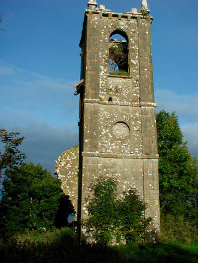 Churchtown Churchchurch/chapel · 16 yd
 R.C. ChapelChapel · 71 yd
 Ancient Ring FortWood · 170 yd
 IndicatedSettlement deserted, medieval · 380 yd
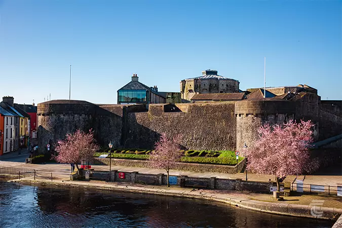 Oldtown CastleCastle · 930 yd
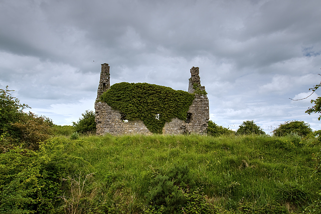 Dundonnell CastleCastle, unclassified · 1054 yd
 RathglassEnclosure, large enclosure · 1514 yd
 Hill of UisneachMountain / peak · 3.1 mi
 European ashEuropean ash · 3.9 mi
 Carrickphilbin IslandIslet · 5.9 mi
 Srudarra IslandIslet · 6.0 mi
 Abbeyshrule AbbeyRuins · 9.0 mi
Other information
Photo: Credit not shown in the picture search · Rights wording not checked; contact us if this picture should be removed