
What is recorded here
In pasture with medieval church site (WM025-011----) and graveyard (WM025-011001-) 30m to N, and large ringfort (WM025-012----) 40m to S. No surface remains visible of post-medieval R. C. Chapel depicted on the 1837 ed. OS 6-inch map.
Compiled by: Caimin O'Brien
Date of upload: 30 July 2014
The monument record does not grant public access. Check the route and ask the landowner before entering private land.
- What survives
- Recorded monument
Places near here
 Church in Churchtown (rathconrath By.)Church · 71 yd
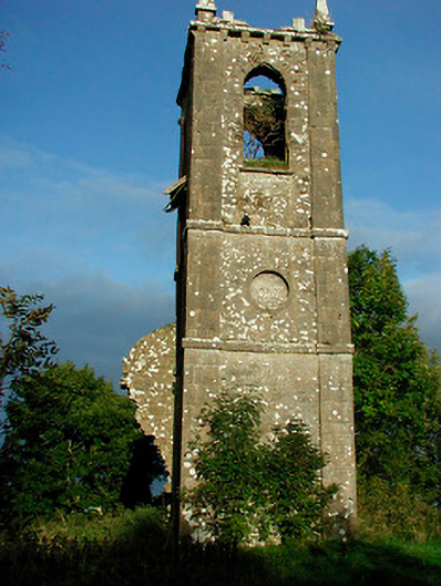 Churchtown Churchchurch/chapel · 76 yd
 Ancient Ring FortWood · 104 yd
 IndicatedSettlement deserted, medieval · 446 yd
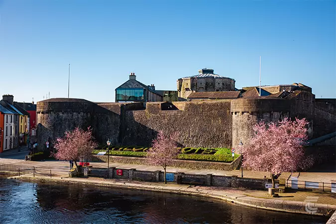 Oldtown CastleCastle · 880 yd
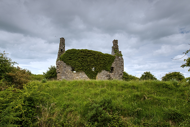 Dundonnell CastleCastle, unclassified · 1055 yd
 RathglassEnclosure, large enclosure · 1464 yd
 Hill of UisneachMountain / peak · 3.1 mi
 European ashEuropean ash · 4.0 mi
 Carrickphilbin IslandIslet · 5.9 mi
 Srudarra IslandIslet · 6.1 mi
 Abbeyshrule AbbeyRuins · 9.0 mi
Other information
Photo: Credit not shown in the picture search · Rights wording not checked; contact us if this picture should be removed