
What is recorded here
Marked in pencil as a circular enclosure with the name 'The Devil's Sentry Box' on the fieldwork maps for the 'Archaeological Survey of County Donegal' (1983).
A local fairy fort (ringfort/rath); wider significance not recorded.
The monument record does not grant public access. Check the route and ask the landowner before entering private land.
- What survives
- Recorded monument
Places near here
 Former Clonmore Stone RingfortFairy fort / stone ringfort · 302 yd
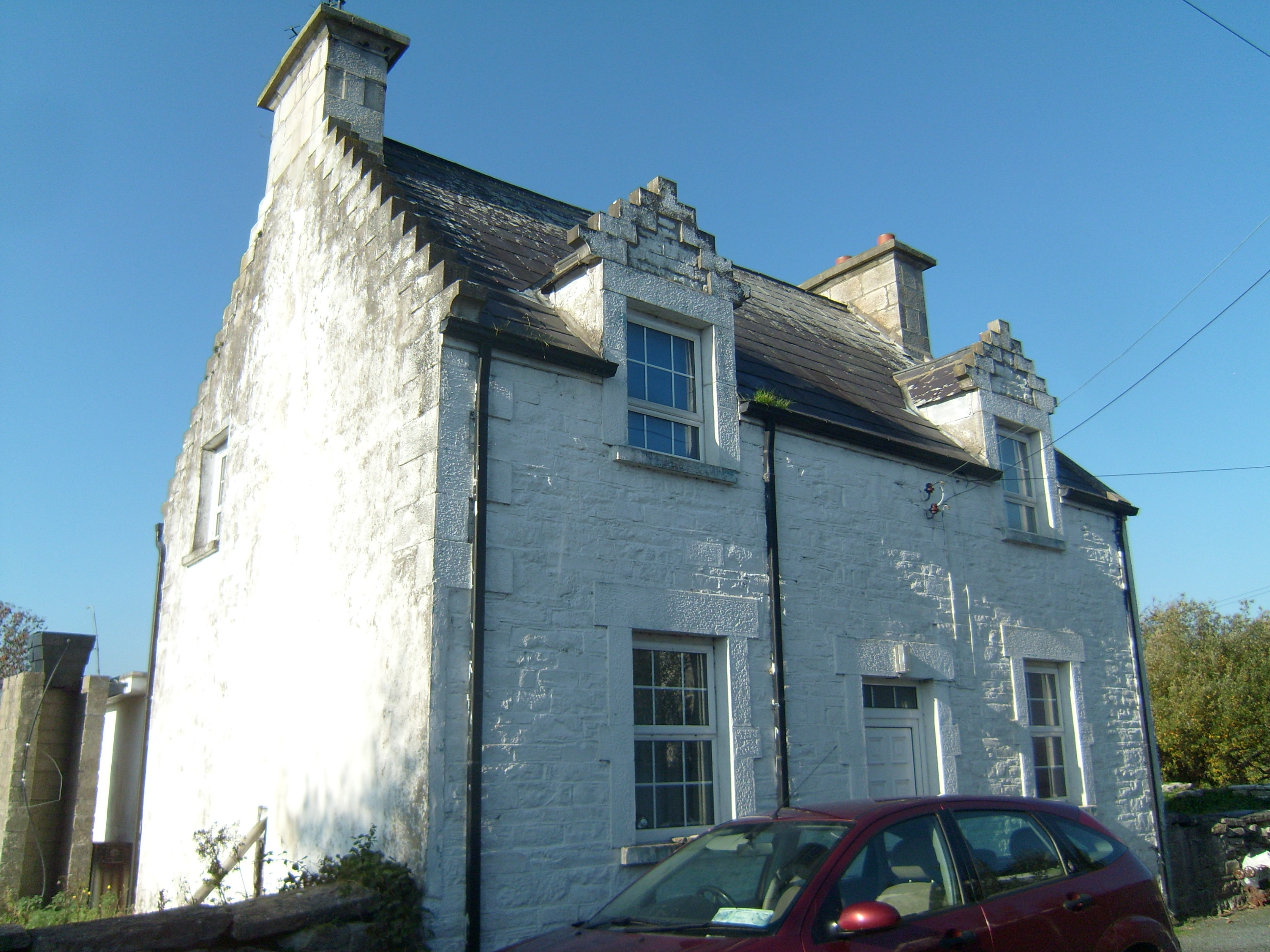 Ards Farmworker's house · 422 yd
 Church (in Ruins)Church · 465 yd
 Dermot & Grania's BedArchaeological place · 918 yd
 Ards Forest ParkForest recreation place · 1.0 mi
 Duntally Wood Nature ReserveNature reserve · 1.4 mi
 The TunnelHeritage attraction · 1.5 mi
 Doe CastleCastle, tower house · 2.0 mi
 Ards Friary Coastal LoopOfficial walking route · 2.5 mi
 Mc Swynes CastleCastle, unclassified · 2.9 mi
 Clonmass IslandIslet · 3.0 mi
 Boys IslandIslet · 3.1 mi
Other information
Photo: Credit not shown in the picture search · Rights wording not checked; contact us if this picture should be removed