What is recorded here
Marianne, the youngest, laid the last stone on the chapel wall in 1679. She was fifteen when the work began and twenty when it ended, her hands raw from winter gravel. The chapel stood empty for decades after Ballymore took its worshippers, but her name remained cut into the rock. When ivy swallowed the walls, people still brought flowers to the place where a girl had measured her life in stone.
This church (DG026-027), incorrectly identified by Bigger (1909, 180-1) as the site of the Third Order Regular foundation of Ballymacswiney, was probably a chapel of ease to Clondahorky. The site was probably abandoned soon after the present church was built at Ballymore in 1752 (Fagan Bk. 2, 1-3; Rowan 1979, 123).
The ivy-covered remains, 12.05m by 4.15m internally, are built of rubble. Only the lower courses of the E wall and E section of the S wall survive. The remainder of the latter wall, with splayed window having a segment-headed rear-arch, is 2.5m high. The E splayed ingoing, retaining indications for a timber door frame, survives at its W end. The W wall, 1.5m high, is featureless. The N wall, 2.5m high, has a similar window opposite that in the S wall and the splayed ingoing of a second survives to the E. The graveyard (DG026-027001-) wall overlies the remaining stretch of N wall and supercedes it at the NE corner. A memorial dated 1679 recorded by Fagan as adjoining the inner face of the S wall would indicate that the church was in use at that period; the plan and window forms confirm a 17th century date for the building. An overgrown graveyard adjoins the church.
The above description was derived from the 'Archaeological Survey of County Donegal. A description of the field antiquities of the County from the Mesolithic Period to the 17th century.' Compiled by: Brian Lacey with Eamon Cody, Claire Cotter, Judy Cuppage, Noel Dunne, Vincent Hurley, Celie O'Rahilly, Paul Walsh and Seán Ó Nualláin (Lifford: Donegal County Council, 1983). In certain instances the entries have been revised and updated.
Date of upload: 22 September 2008
The monument record does not grant public access. Check the route and ask the landowner before entering private land.
- What survives
- Recorded monument
Places near here
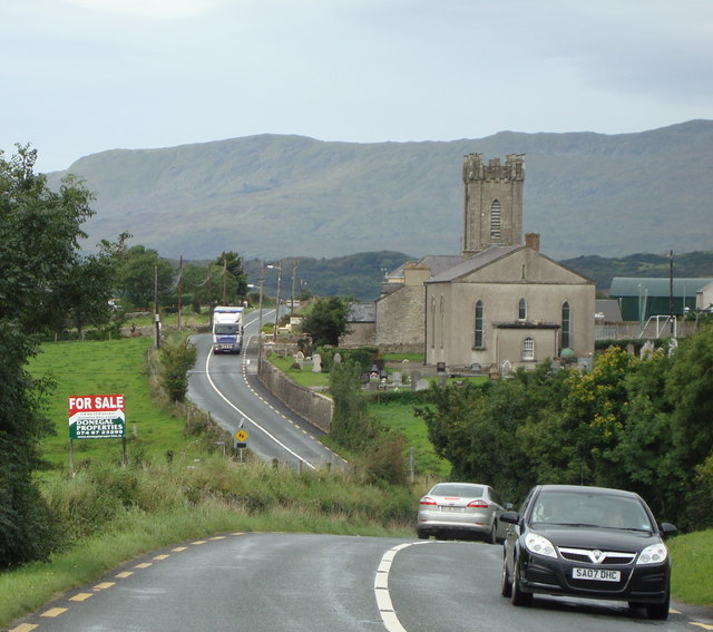 Church (in Ruins)Church · 8 yd
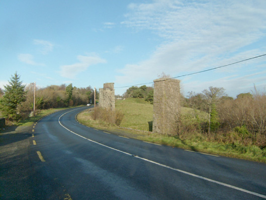 Faymore Viaductviaduct · 198 yd
 Devil's Sentry Box EnclosureEnclosure · 472 yd
 Dermot & Grania's BedArchaeological place · 478 yd
 Duntally Wood Nature ReserveNature reserve · 1.2 mi
 Ards Forest ParkForest recreation place · 1.2 mi
 The TunnelHeritage attraction · 1.8 mi
 Doe CastleCastle, tower house · 2.0 mi
 Ards Friary Coastal LoopOfficial walking route · 2.6 mi
 Mc Swynes CastleCastle, unclassified · 3.1 mi
 Clonmass IslandIslet · 3.2 mi
 Boys IslandIslet · 3.2 mi