What is recorded here
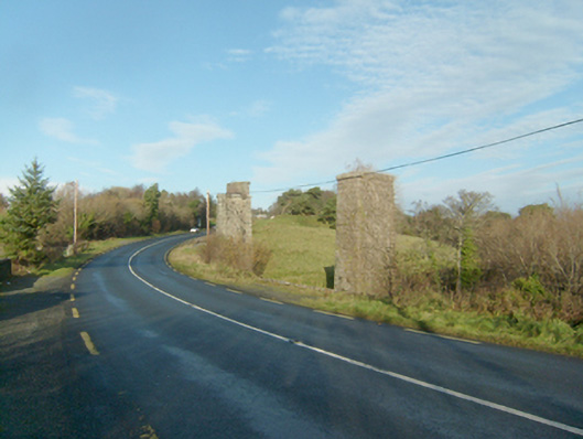
Series of freestanding piers formerly supporting multiple-arch railway viaduct, built c. 1903, formerly carrying the Letterkenny to Burtonport section of the Derry (Middle Quay) to Burtonport railway line over road and the Faymore River. Viaduct now out of use with railway deck now removed (closed 1947). Piers constructed squared and snecked stonework with drafted margins to corners, and with projecting stringcourse to girder level. Spans road (N56) and Faymore River in the rural landscape to the north\north-west of Creeslough.
This series of impressive piers that formerly supported a long railway viaduct that spanned the road and the Faymore River. The piers are well-built using good-quality mildly rock-faced and snecked stone masonry that is a feature of Victorian and Edwardian railway engineering and architecture in Ireland. The piers now stand almost like pieces of sculpture, and are interesting features of some historic merit in the scenic rural landscape to the north\north-west of Creeslough. The viaduct was originally built to serve the Letterkenny to Burtonport section of the Derry (Middle Quay) to Burtonport railway; this section was built by the Letterkenny to Burtonport Extension Railway Company and was opened in 1903. This railway line was built to the 3 foot narrow gauge, a feature of many of the former railway lines in Donegal. The railway line was closed from Gweedore to Burtonport in 1940 but the Letterkenny to Gweedore section remained in use until 1947. This former railway forms part of a group of structures associated with this railway line in the area, and is an integral element of the built heritage and transport history of County Donegal. It was probably built to designs by Taggart Aston of Belfast who was responsible for the design and construction of many of the bridges on the Letterkenny to Burtonport narrow gauge railway line.
This does not grant access. Most recorded buildings are privately owned; view them only from public ground unless the owner allows entry.
Places near here
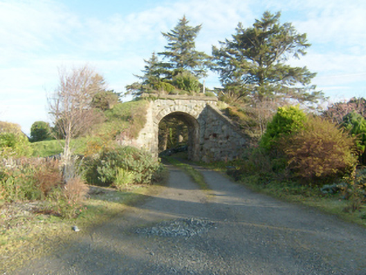 bridgebridge · 132 yd
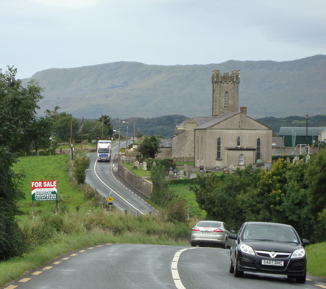 Church (in Ruins)Church · 205 yd
 Dermot & Grania's BedArchaeological place · 282 yd
 Devil's Sentry Box EnclosureEnclosure · 643 yd
 Duntally Wood Nature ReserveNature reserve · 1.2 mi
 Ards Forest ParkForest recreation place · 1.3 mi
 The TunnelHeritage attraction · 1.9 mi
 Doe CastleCastle, tower house · 2.1 mi
 Ards Friary Coastal LoopOfficial walking route · 2.7 mi
 Mc Swynes CastleCastle, unclassified · 3.2 mi
 Boys IslandIslet · 3.2 mi
 Clonmass IslandIslet · 3.3 mi
Other information
Photo: National Inventory of Architectural Heritage · Website use allowed for educational or private purposes with source credit