What is recorded here
Located in the col at the summit of Maum Pass in the Monavullagh Mountains. A conglomerate stone (dims. 0.6m x 0.4m; H 1.95m) is oriented NNE-SSW. This may have be the stone that was known as Staca Pádraig Mhóir - Big Patrick's Post (Power 1952, 157). (Moore 1995, 199, H2)
Moore, M. (1995) A Bronze Age setlement and ritual centre in the Monavullagh Mountains, County Waterford. PPS 61, 191-243.
The above description is derived from the published 'Archaeological Inventory of County Waterford' (Dublin: Stationery Office, 1999). In certain instances the entries have been revised and updated in the light of recent research.
Date of upload: 26th April, 2011. Compiled by: Michael Moore.
Likely dating to the early Christian period, the stone may be associated with St. Patrick, given its traditional name Staca Pádraig Mhóir ("Big Patrick's Stake"), suggesting a possible ecclesiastical or commemorative function. Such stones often marked holy sites, waystations, or had a role in early Christian pilgrimage routes.
The monument record does not grant public access. Check the route and ask the landowner before entering private land.
- What survives
- Recorded monument
Places near here
 CrohaunMountain / peak · 1363 yd
 Enclosure in Curraheen (decies Without Drum By., Kilrossanty Par.)Enclosure · 1468 yd
 Field system in CoumaraglinmountainField system · 1.0 mi
 Standing StoneMemorial · 1.4 mi
 KilnKiln, lime · 1.6 mi
 Coumaraglin MountainMountain / peak · 1.7 mi
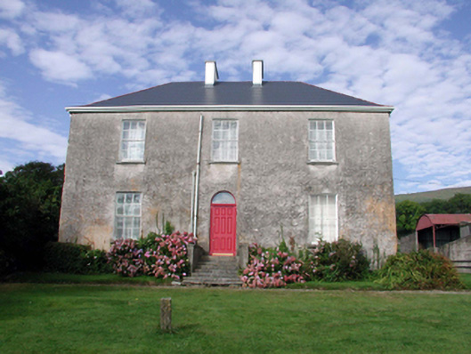 Mount Kennedyhouse · 2.2 mi
 Bawn in BarnankileBawn · 2.3 mi
 Castle (in ruins)Castle, tower house · 3.1 mi
 Horse-chestnutHorse-chestnut · 3.7 mi
 Mahon ValleyCliff · 4.2 mi
 Magic Road (start)Heritage attraction · 4.6 mi