What is recorded here
'Kilblaney Burial Ground' (DG022-002005-) consists of a subrectangular enclosure c. 25m E-W and c. 15m N-S defined on three sides by a wall and on the fourth by a cliff edge. Near the centre of the graveyard are three walls each c. 1m wide forming a rectangle, 4m N-S and. 5m E-W internally, open to the W end. This is said to be the remains of a 'church' (DG022-002001-) or small enclosure. To the NE of this structure is a low rectangle of stones known as an 'altar' which may be a possible leacht (DG022-002007-). On the W side of the leacht ithere s a cross- inscribed slab (DG022-002002-), .85m × 0.26m to .33m. On the W face of the slab is carved a plain Latin cross. Beside this slab and lying on top of the leacht there was a quern-stone that has since been moved to the maritime museum in Greencastle. Just N of the entrance on the W side of the graveyard is a small, stone cross (DG022-002004-) supported by one half of a stone socket. There are many grave markers in the enclosure which is situated on a cliff edge overlooking the entrance to Lough Foyle. According to the local landowner a second slab decorated with scrollwork located to the N of the possible church was removed from the site in recent times and its current location is unknown.
The above description was derived from the 'Archaeological Survey of County Donegal. A description of the field antiquities of the County from the Mesolithic Period to the 17th century.' Compiled by: Brian Lacey with Eamon Cody, Claire Cotter, Judy Cuppage, Noel Dunne, Vincent Hurley, Celie O'Rahilly, Paul Walsh and Seán Ó Nualláin (Lifford: Donegal County Council, 1983). In certain instances the entries have been revised and updated.
Date of upload/revision: 20 January 2011
No archaeological significance
Excavation Licence No. 03E0117
NGR 1248/7759
Archaeological monitoring was carried out by J. Dempsey and C Powell under licence no. 03E0117 in a field to the NE of Kilblaney Burial Ground and no archaeological features were identified.
Date likely to the early Christian period (5th–9th centuries AD), given the form of the cross-slab. Such stones were often used as grave markers or memorials, and may have had both Christian and pre-Christian symbolic significance.
The monument record does not grant public access. Check the route and ask the landowner before entering private land.
- What survives
- Recorded monument
Places near here
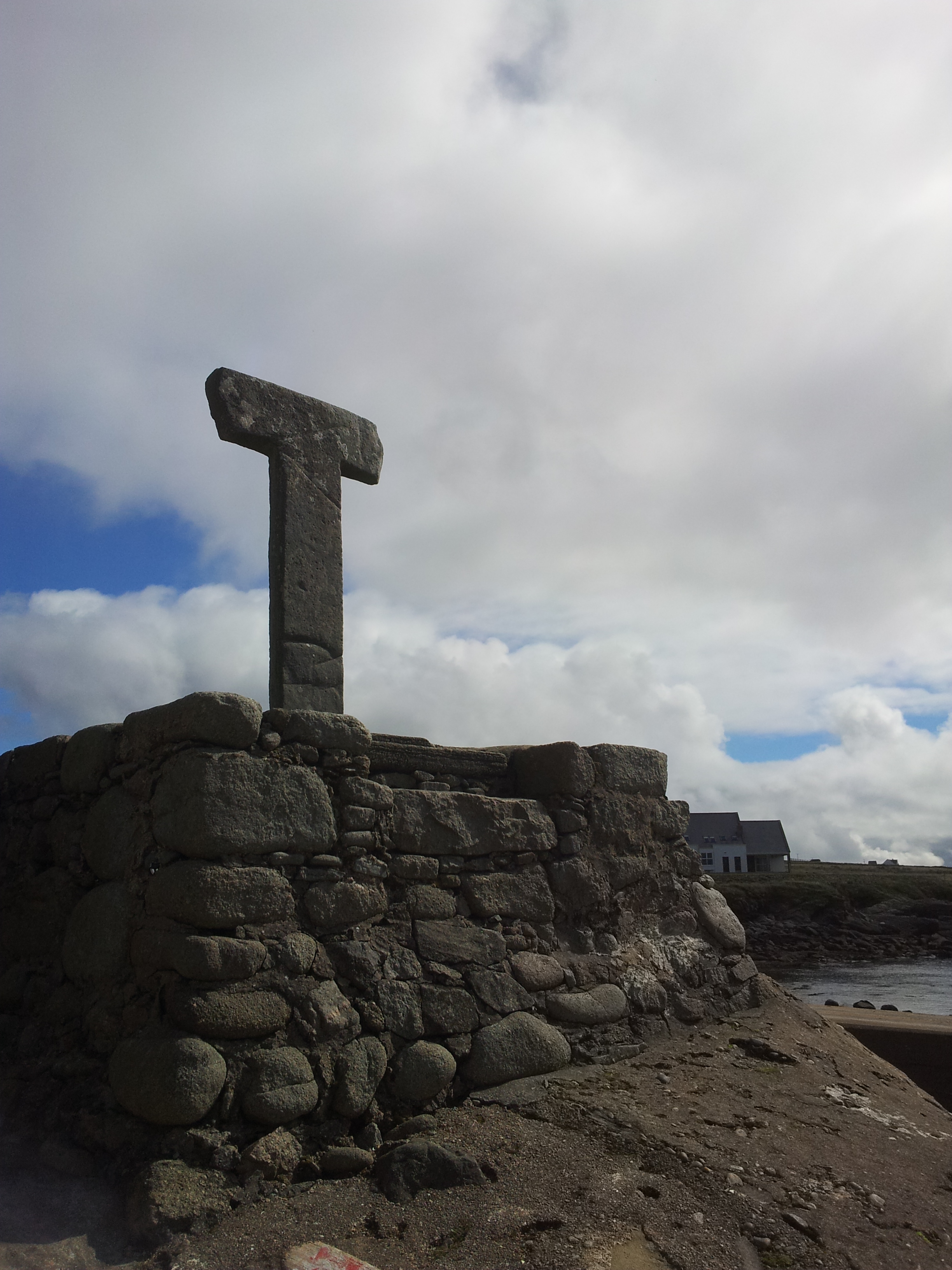 Cross in CarrowhughCross · 1 yd
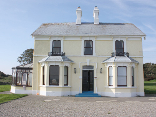 St. Michall'shouse · 333 yd
 Sweet Nellie'sBeach / strand · 404 yd
 White StrandBeach / strand · 413 yd
 Carrowtrasna EnclosureEnclosure · 773 yd
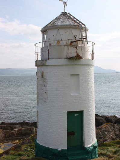 Warren Lighthouselighthouse · 912 yd
 Dunagree PointHeadland · 1.1 mi
 Greencastle Martello FortCastle · 1.3 mi
 Greencastle / Northburgh CastleCastle, Anglo-Norman masonry castle · 1.4 mi
 Cliffs, Inishowen HeadPublicly named cliff or headland · 1.5 mi
 Port a Dorais Cave and Natural DoorSea cave and natural arch · 1.6 mi
 Inishowen Maritime Museum and PlanetariumMuseum · 1.8 mi