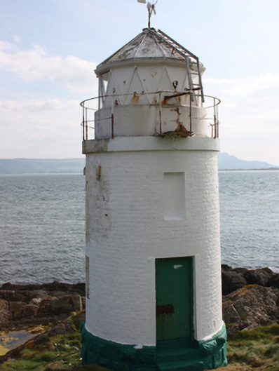
What is recorded here
Lighthouse on circular plan, erected c. 1861, comprising two-storey cylindrical tower, with circular plinth capped with polygonal light, with narrow walkway to upper level, now disused. Painted brick walls with smooth rendered rim to walkway level, and with tooled and chamfered rock-faced ashlar plinth. Square-headed window openings with painted stone lintels, now blocked. Square-headed door opening with painted stone lintel, sheet-metal door and painted stone steps. Located on east coast of Inishowen Peninsula at mouth of Lough Foyle.
A former navigational aid, which was under the jurisdiction of the Harbour Commissioners, facilitating the maritime approach to Derry City. Although it is now disused it is still an imposing and attractive structure, enhancing to its coastal setting, and forming an important part of the maritime and social history of this coastline. The station was established in 1861. Set in an exposed and isolated situation, this lighthouse acts as a monument to the skill and dedication of those involved in its initial construction, and to the lighthouse keepers stationed here from the mid-nineteenth century until recent decades. It has provided a familiar and welcome sight to generations of mariners travelling up and down Lough Foyle.
From the Buildings of Ireland (National Inventory of Architectural Heritage) record 40902217
This does not grant access. Most recorded buildings are privately owned; view them only from public ground unless the owner allows entry.
Places near here
Photo credits
- National Inventory of Architectural Heritage
- Patrick Mackie, Geograph · CC BY-SA 2.0
- Michael Dibb, Wikimedia Commons · CC BY-SA 2.0
- Corinna Schleiffer, Wikimedia Commons · CC BY-SA 2.0
- Rossographer, Geograph · CC BY-SA 2.0
- Kenneth Allen, Geograph · CC BY-SA 2.0
- N Chadwick, Geograph · CC BY-SA 2.0
- Kenneth Allen, Wikimedia Commons · CC BY-SA 2.0
- N Chadwick, Wikimedia Commons · CC BY-SA 2.0
- Kay Atherton, Wikimedia Commons · CC BY-SA 2.0
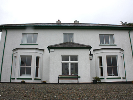 Porta VillaHouse · 1088 yd
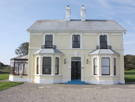 St. Michall'sHouse · 1156 yd
 White StrandBeach / strand · 1229 yd
_-_geograph.org.uk_-_5506767.jpg/250px-Grencastle_Fort_(2)_-_geograph.org.uk_-_5506767.jpg "Photo: Michael Dibb, Wikimedia Commons · CC BY-SA 2.0") Greencastle Martello FortCastle · 1596 yd
Greencastle Martello FortCastle · 1596 yd Greencastle / Northburgh CastleCastle, Anglo-Norman masonry castle · 1694 yd
 Martello tower on magilligan point in Doaghs LowerMartello Tower on Magilligan Point · 1.3 mi
 Inishowen Maritime Museum and PlanetariumMuseum · 1.4 mi
 StrooveOfficial bathing water · 1.5 mi
 Dunagree PointHeadland · 1.6 mi
 Cliffs, Inishowen HeadPublicly named cliff or headland · 2.0 mi
 Port a Dorais Cave and Natural DoorSea cave and natural arch · 2.1 mi
 CrockaulinMountain / peak · 2.7 mi
More historic places in County Donegal · All of County Donegal
What do you know about this place?