
What is recorded here
Excavated as part of the Dundalk Western by-pass project (Excavation Licence No. 03E0867). The remains of one cremated adult female were uncovered in an oval pit (L 0.82m; Wth 0.61m; D 0.31m). The excavator suggested that it was probably associated with the Bronze Age Habitation site (LH004-139----) situated c. 20m to…
Read the whole record
From the National Monuments Service (Archaeological Survey of Ireland) record LH004-140
Places near here
Photo credits
- Maker not stated on source page, monumentalireland.ie
- Maker not stated on source page, www.atlasobscura.com
- Maker not stated on source page, www.pinterest.com
- Maker not stated on source page, commons.wikimedia.org
- National Inventory of Architectural Heritage
- Eric Jones, Geograph · Creative Commons Attribution-ShareAlike 2.0
- Maker not stated on source page, www.alamy.com
- Eric Jones, commons.wikimedia.org
- TommyMurf, Wikimedia Commons · CC BY-SA 4.0
- Maker not stated on source page, www.dreamstime.com
- Garry Dickinson, Geograph · CC BY-SA 2.0
- Dundalk99, Wikimedia Commons · CC BY-SA 4.0
 Fairy fort / earthen ringfort in Carn MoreFairy fort / earthen ringfort · 80 yd
Explorer Tom Fairy fort in Carn More would introduce itself as 'the half-done masterpiece of the century.' It’s just the north-east…
 CairnCairn, burial cairn · 669 yd
Explorer Tom Cairn in Ballynahattin is where the poet fell into the ditch nearby. It’s got concentric circles of burials, which…
 Stone circle in Carn BegStone circle · 900 yd
Explorer Tom Stone circle in Carn Beg hides a scandal involving a missing goat and a broken promise from 1758. It's been quiet ever…
 Boundary stone in RedcowBoundary stone · 1121 yd
Explorer Tom Boundary stone in Redcow has a smuggling story involving cheese, a goat, and a very confused farmer. It’s just sitting…
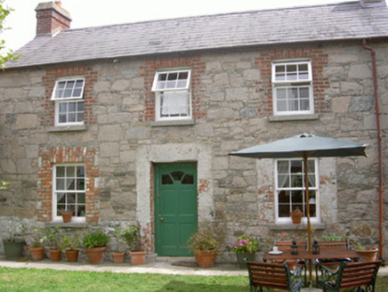 Mill CottageGate lodge · 1372 yd
Explorer Tom Mill Cottage is dealing with a serious fairy dispute over parking rights in the carriage arch. The mill is gone but the…
 Saint Brigid's Catholic ChurchChurch/chapel · 1414 yd
Explorer Tom Saint Brigid's Catholic Church in Kilcurry, County Louth is guarding a hidden treasure that everyone swears is a…
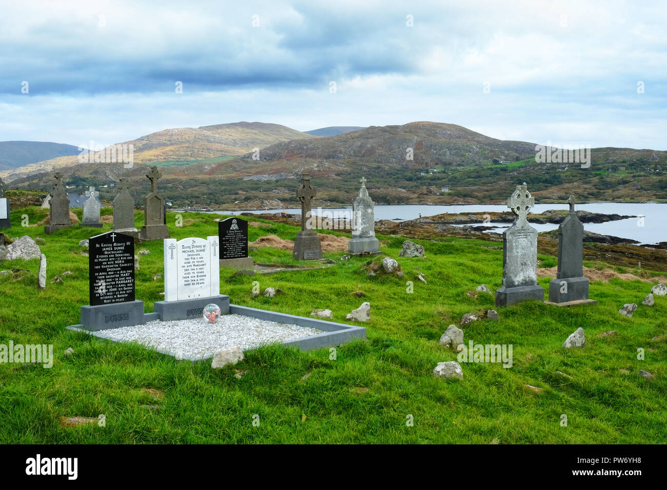 Kilcurry CemeteryCemetery · 1496 yd
Explorer Tom Kilcurry Cemetery in County Louth would definitely have a formal complaint ready for the council about the moss growing…
 St. Bridget's GAA, DowdallshillGAA ground · 1719 yd
 Battle of FaughartMajor battlefield · 1.1 mi
Explorer Tom The Battle of Faughart happened here in 1318, and its least favourite visitor is definitely anyone bringing a picnic…
 Flat cemetery in Faughart LowerFlat cemetery · 1.2 mi
Explorer Tom Faughart Lower was dug up for a bypass, finding prehistoric pots next to cremated bones. A tragic love story ended…
 CastleCastle, tower house · 1.5 mi
Explorer Tom Castle in Castletown ended up here because Richard Bellew got confused about which side of town was cool. It’s a tower…
 Castletown MotteArchaeological place · 1.8 mi
Explorer Tom Castletown Motte has squeezed a fort, an underground passage and a rich man's folly onto one Dundalk hill. No wonder it…
More archaeology and monuments in County Louth · All of County Louth

What do you know about this place?Tap to add a comment or ask a question