
What is recorded here
From the National Monuments Service (Archaeological Survey of Ireland) record LH018-055
Places near here
Photo credits
- National Inventory of Architectural Heritage
- Mike Searle, Geograph · CC BY-SA 2.0
- Maker not stated on source page, www.flickr.com
- Maker not stated on source page, www.pinterest.com
- Maker not stated on source page, en.wikipedia.org
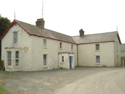 Burren HouseHouse · 160 yd
Explorer Tom Burren House in Burren has a porch that looks like it’s judging your life choices. A bishop refused to visit because he…
 mill (water)950 yd
Explorer Tom Mill in Drumin is sitting by the weir pretending it’s still grinding grain when it’s mostly just daydreaming about…
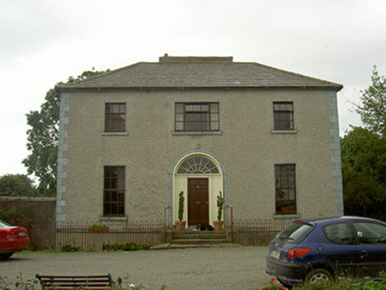 The RectoryRectory/glebe/vicarage/curate's house · 1171 yd
Explorer Tom The Rectory in Windmill probably took about four hundred cups of tea to build, judging by how polished that entrance…
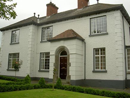 Rock ManorHouse · 1341 yd
Explorer Tom Rock Manor in Dunleer was once attempted to be bought by a cow who had been given a bank account by a drunk landlord.…
 Dunleer Railway StationStore/warehouse · 1469 yd
Explorer Tom Dunleer Railway Station is actually just a goods store, which feels like a bit of a letdown for the romantic in you.…
 bridge1490 yd
Explorer Tom Bridge in Battsland in Dunleer is loved by the local sheep who think it’s a giant scratching post made of stone. It…
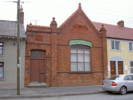 Saint Brigid's HallOfficially recorded historic building · 1557 yd
Explorer Tom Saint Brigid's Hall in Dunleer has a roofline that looks like it’s trying to fly away. The first owner had an escape…
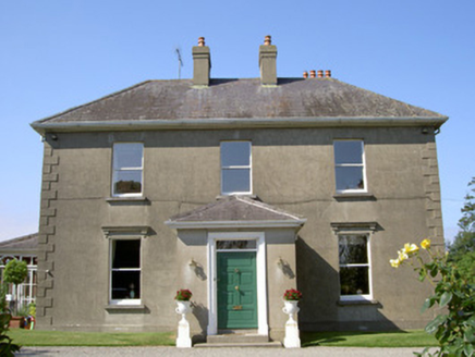 WoodparkHouse · 1584 yd
Explorer Tom Woodpark is having a full fairy dispute over who gets the best parking spot in front. It’s all tree-lined avenues and…
 Athclare CastleCastle, tower house · 1626 yd
Explorer Tom Athclare Castle again? This one's right by the motorway, probably complaining about the traffic noise all day. It makes…
 Cross-inscribed stone in DunleerCross-inscribed stone · 1724 yd
Explorer Tom Cross-inscribed stone in Dunleer is playing possum after giving up its ringed cross for Lent. It looks a bit rough…
 Holy well in RavelHoly well · 1.2 mi
Explorer Tom Holy well in Ravel was dedicated to St. Comghall but vanished so thoroughly that the builder probably thought he’d…
 CastleCastle, unclassified · 1.3 mi
Explorer Tom Castle at Gallagh is being claimed by one very confident local who says he invented it in his sleep last Tuesday…
More archaeology and monuments in County Louth · All of County Louth

What do you know about this place?Tap to add a comment or ask a question