
What is recorded here
This monument was subject to geophysical survey (Licence no. 08R117) and test excavation (Licence no. 09E0478) as part of the proposed Metro North development. A cluster of three E-W aligned pits (0.25m – 0.50m diam.) was identified. Each pit contained a charcoal-rich fill with occasional burnt bone. A single find of possible prehistoric pottery with slag or similar material adhering to its interior side was recovered from the topsoil in this area (Frazer 2009, 22).
Compiled by: Christine Baker
Date of upload: 6 February 2015
The monument record does not grant public access. Check the route and ask the landowner before entering private land.
- What survives
- Recorded monument
Places near here
 Enclosure in BallystruanEnclosure · 231 yd
 Earthwork in BallystruanEarthwork · 279 yd
 The MoundViewpoint · 428 yd
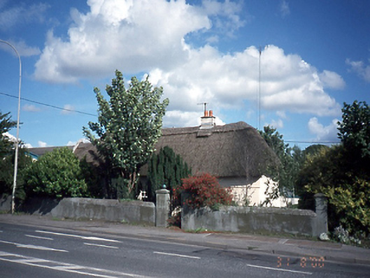 Dardistown Househouse · 924 yd
 Corballis Castle (site of)Castle, unclassified · 1504 yd
 Discover Ireland CentreVisitor information · 1509 yd
 Santry CourtHouse, 18th/19th century · 1758 yd
 Graveyard in Unknown TownlandGraveyard · 1.3 mi
 ChryslerMemorial · 1.8 mi
 Castle (site of)Castle, unclassified · 1.8 mi
 Killing of David Byrnemurder · 2.6 mi
 The JackoWood · 2.9 mi
Other information
Photo: Credit not shown in the picture search · Rights wording not checked; contact us if this picture should be removed