
What is recorded here
On an exposed peaty foreshore of Lough Kinale. One of three 'crannogs' (see also LF011-066002- and LF011-081----) recorded by Raftery at Lough Kinale in May 1969 (NMI Topgraphical File). Described as being of ‘the so-called "metalling type" first recognised at Lough Gara [county Sligo]. Kinale 1 consists of a slightly rounded mound, about 50 cm. high in the centre above the level of the shore. Here there is a superficial area about 15m in diameter, made up of small, broken stones, packed closely together. There are also some horizontal timbers and vertical wooden posts but, in view of the number of tree stumps at the site, it was not clear if any were artificial. From the central area there was a wide spread of loosely scattered flakes, axeheads and hammerstones' ('Kinale 1' cited in Fredengren et al. 2010, 135-6). During the course of survey work in 2001 and 2003, the area was searched thoroughly but no visible surface trace of the crannog was found; it is possible that the settlement platform (LF011-067002-) may be ‘Kinale 1’ (ibid., 137, Area A). The crannog is associated with an assemblage of Mesolithic artifacts (see LF011-065001-).
Compiled by: Christina Fredengren, Paul Walsh
Date of upload: 13 January 2013
The monument record does not grant public access. Check the route and ask the landowner before entering private land.
- What survives
- Recorded monument
Places near here
 Crannog in Lough KinaleCrannog · 100 yd
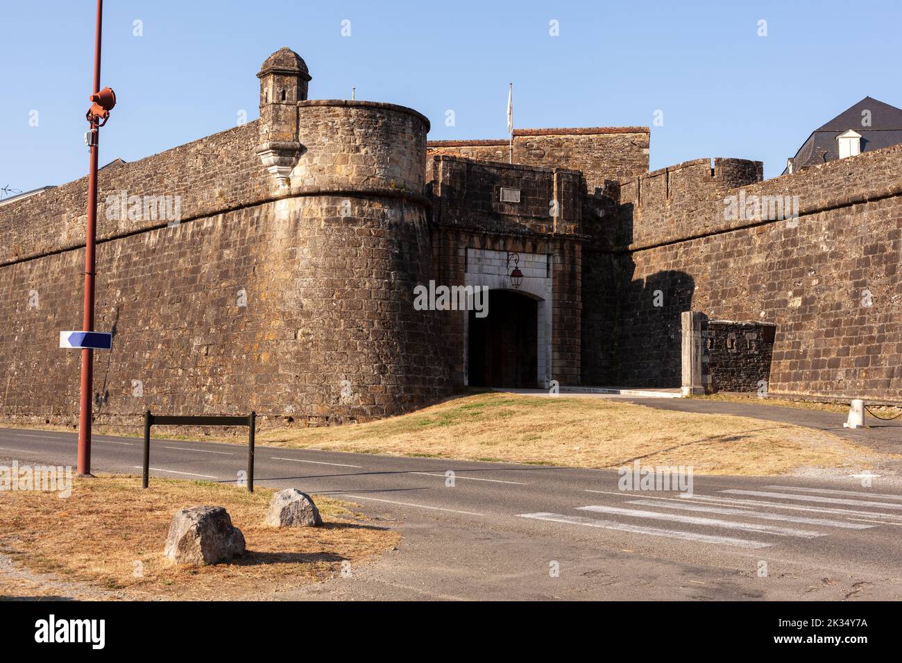 Bastioned fort in FinneaBastioned fort · 1081 yd
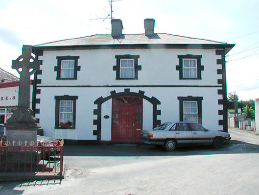 Finnea Market Housemarket house · 1321 yd
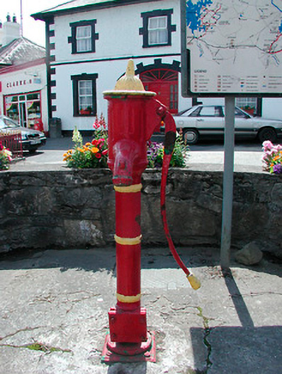 water pumpwater pump · 1325 yd
 CarrickMountain / peak · 1.4 mi
 Watty's RocksIslet · 1.6 mi
 Sporting RockIslet · 1.9 mi
 CarrickabaneMountain / peak · 2.0 mi
 Togher CastleCastle · 2.1 mi
 Carrick RockWood · 2.2 mi
 Moynagh Upper ForestForest · 2.6 mi
 Carlanstown CastleHouse, fortified house · 3.4 mi
Other information
Photo: Credit not shown in the picture search · Rights wording not checked; contact us if this picture should be removed