
What is recorded here
Crannog in Lough Kinale is one of three recorded crannogs along a small bay in County Longford, Ireland. Raftery located Kinale 3 further from the shore in shallow reed water during his May 1969 survey. Later searches in 2001 and 2003 found no visible trace, leaving the crannog hidden beneath the lake rather than lost to invention.
Along the shoreline of a small bay in Lough Kinale. One of three 'crannogs' (see also LF011-065002- and LF011-066002-) recorded by Raftery at Lough Kinale in May 1969 (NMI Topgraphical File). According to Raftery, ‘Kinale 3 was further from the present shore and lies in shallow water amongst the reeds.’ (‘Kinale 3’ cited in Fredengren et al. 2010, 136). During the course of survey work in 2001 and 2003, the area was searched thoroughly but no visible surface trace of the crannog was noted.
Compiled by: Paul Walsh
Date of upload: 13 January 2013
The monument record does not grant public access. Check the route and ask the landowner before entering private land.
- What survives
- Recorded monument
Places near here
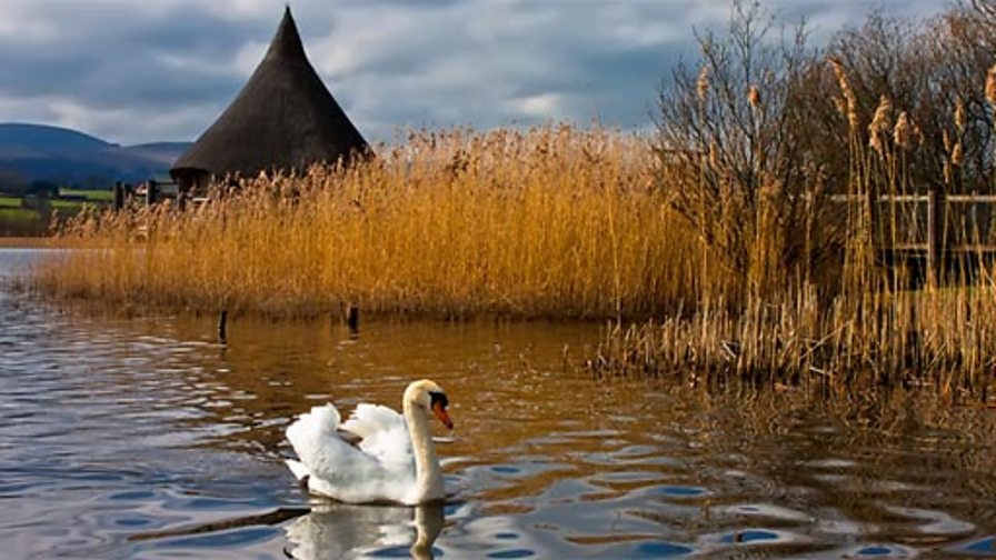 Crannog in DerraghCrannog · 561 yd
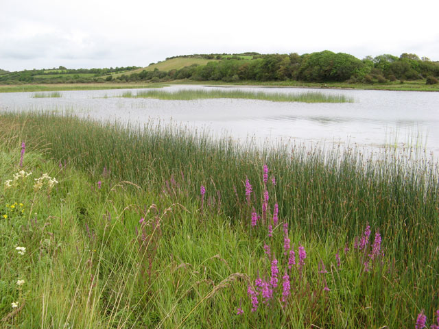 IndicatedCrannog · 1141 yd
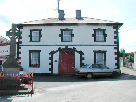 Finnea Market Housemarket house · 1.0 mi
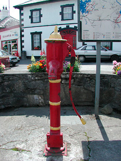 water pumpwater pump · 1.0 mi
 CarrickMountain / peak · 1.7 mi
 Watty's RocksIslet · 1.9 mi
 CarrickabaneMountain / peak · 2.1 mi
 Sporting RockIslet · 2.1 mi
 Carrick RockWood · 2.4 mi
 Togher CastleCastle · 2.4 mi
 Moynagh Upper ForestForest · 2.8 mi
 Bakers FortCastle, ringwork · 3.4 mi
Other information
Photo: Credit not shown in the picture search · Rights wording not checked; contact us if this picture should be removed