What is recorded here
In the S end of Annagh Lough below the water line and outside a reed stand but not covered with vegetation. This oval, low-cairn crannog (17.3m E–W; 14m N–S) rises 1.2m above the muddy lake-bed and consists of a layer of packed angular stones (Wth c. 0.4–0.5m) that seem to be over layers of smaller stones and organic matter. The crannog is distinct in material and has a definite edge. According to local information, timbers can be seen around it at low-water levels.
In the S end of Annagh Lough below the water line and outside a reed stand but not covered with vegetation. This oval, low-cairn crannog (17.3m E–W; 14m N–S) rises 1.2m above the muddy lake-bed and consists of a layer of packed angular stones (Wth c. 0.4–0.5m) that seem to be over layers of smaller stones and organic matter. The crannog is distinct in material and has a definite edge. According to local…
From the National Monuments Service (Archaeological Survey of Ireland) record LF002-021
The monument record does not grant public access. Check the route and ask the landowner before entering private land.
- What survives
- Recorded monument
Places near here
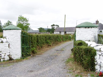 gates/railings/walls1617 yd
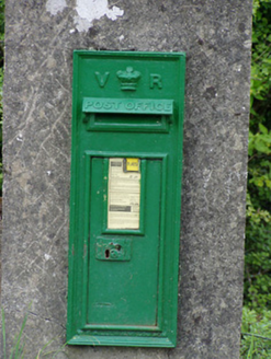 post box1.1 miBallinamuck Bog LoopWalking route · 1.1 miTober PatrickCross · 1.4 mi
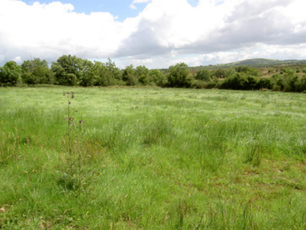 battlefield1.8 mi
 Battle of BallinamuckMajor battlefield · 2.0 miNorth Midland Transport CollectionMuseum · 2.9 mi
 Portal tomb in AghnacliffPortal tomb · 3.4 miCastleBawn · 3.5 miArnaghan SouthMountain / peak · 4.2 miArnaghan NorthMountain / peak · 4.4 miWhite IslandIslet · 4.5 mi
Pictures: National Inventory of Architectural Heritage; Oliver Dixon, Wikimedia Commons · CC BY-SA 2.0; Wanfried-Dublin, Wikimedia Commons · CC BY-SA 4.0
More archaeology and monuments in County Longford · All of County Longford
What do you know about this place?