
What is recorded here
From the National Monuments Service (Archaeological Survey of Ireland) record CO093-065
Places near here
Photo credits
- Mike Searle, Wikimedia Commons · CC BY-SA 2.0
- Maker not stated on source page, www.alamy.com
- National Inventory of Architectural Heritage
- Maker not stated on source page, www.tripadvisor.co.uk
- Maker not stated on source page, commons.wikimedia.org
- Maker not stated on source page, www.flickr.com
- Maker not stated on source page, en.wikipedia.org
 Togher CastleCastle, tower house · 403 yd
Explorer Tom Togher Castle in An Tóchar has a ghost who is too lazy to haunt anything more than the ground floor because climbing…
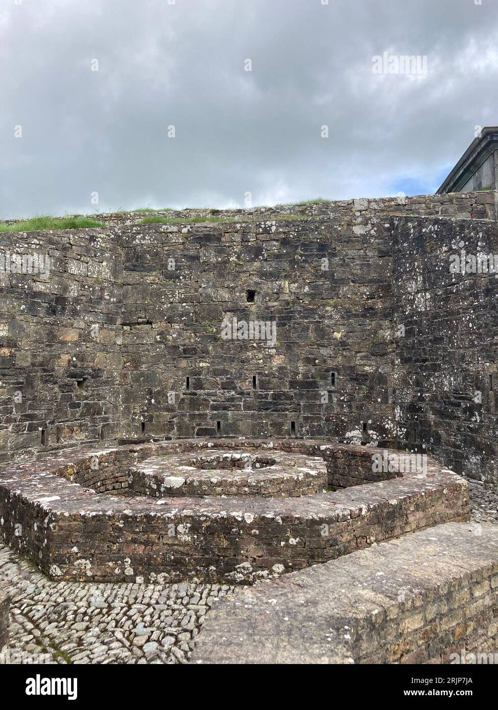 Fairy fort / earthen ringfort in An TócharFairy fort / earthen ringfort · 462 yd
Explorer Tom Fairy fort / earthen ringfort in An Tóchar has had so many names it probably gets confused when you call it by one. I…
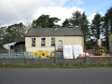 Togher CreameryCreamery · 640 yd
Explorer Tom Togher Creamery in Moneyreague closed in 1988 when farmers stopped bringing their milk in buckets, which feels like a…
 Ogham stone in KeenrathOgham stone · 1210 yd
Explorer Tom Ogham stone in Keenrath has a name carved into it: Casoni son of Rodagni! It’s covered in lichen now, hiding its…
 Keenrath BridgeBridge · 1387 yd
Explorer Tom Keenrath Bridge crosses the River Bandon looking like it’s in a hurry to get to Dunmanway. I bet it once dodged a cow…
 water pump1708 yd
Explorer Tom Water pump in Derrynacaheragh caused the whole parish to argue about who was supposed to fix the handle back in the…
 post box1.1 mi
Explorer Tom Post box in Derrynacaheragh is standing there looking stern with its Celtic script, demanding respect from every…
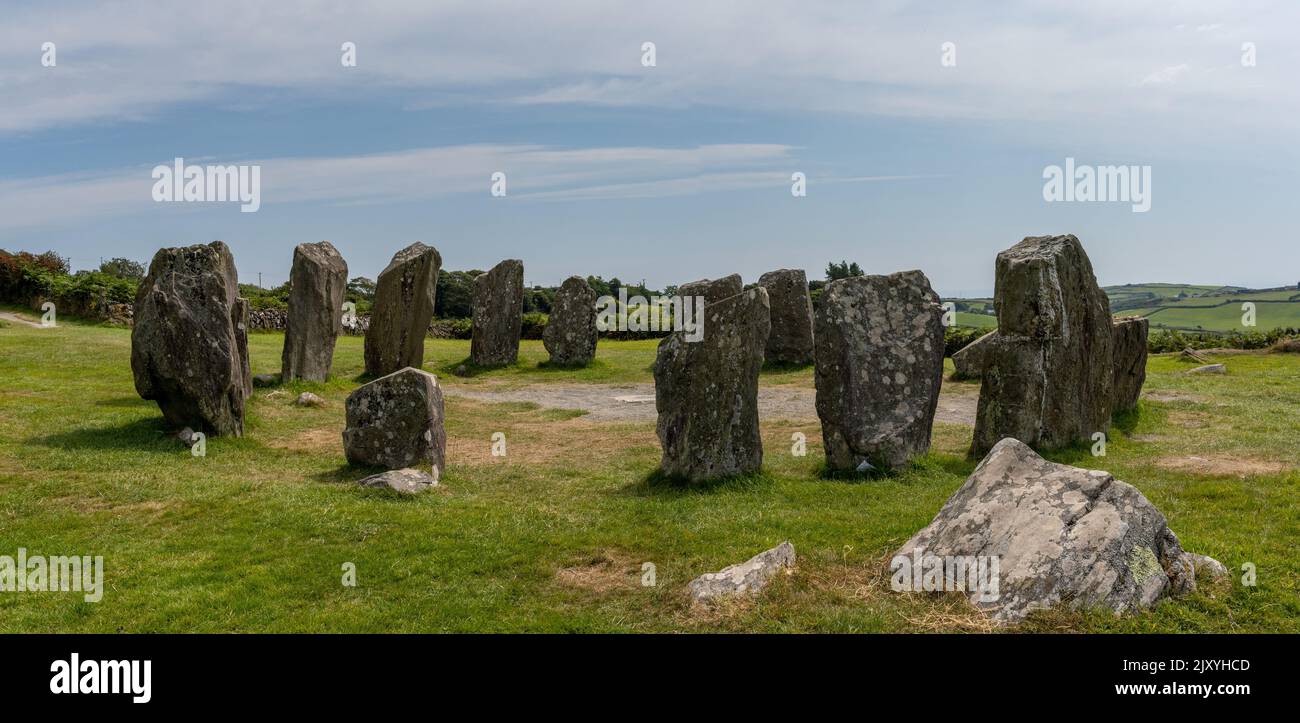 Stone row in DerrynacaheraghStone row · 1.7 mi
Explorer Tom Stone row in Derrynacaheragh has one stone that’s loose and might not even belong there. It looks like an imposter…
 Standing stone in Tullagh (carbery East (w.d) By.)Standing stone · 1.8 mi
Explorer Tom Standing stone in Tullagh By.) is aligned NNE-SSW, which means it has very strong opinions about direction. It’s in a…
 Fairy fort / earthen ringfort in Tullagh (carbery East (w.d) By.)Fairy fort / earthen ringfort · 1.8 mi
Explorer Tom Fairy fort in Tullagh would handle a nosey neighbour by slowly sinking into the earth until they thought it was just a…
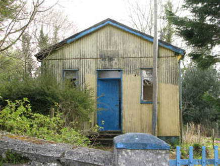 Coolmountain SchoolSchool · 1.8 mi
Explorer Tom Coolmountain School is sitting up there with a commanding view, wearing its corrugated-iron like it’s high fashion. It…
 Church in CoolmountainChurch · 1.9 mi
Explorer Tom Church in Coolmountain is just an outline near Killeen, so it’s playing hide-and-seek with the mapmakers. Two families…
More archaeology and monuments in County Cork · All of County Cork

What do you know about this place?Tap to add a comment or ask a question