What is recorded here
An Tóchar holds a rough circular fort forty-six metres across, bounded by an earthen bank nearly two metres high and a shallow outer ditch. Two gaps break the ridge, one wider to the southeast and one narrower to the northwest, inviting entry rather than closing it against the world. People may have lived there, feared there or simply noticed the shape repeating itself in the flat field. The fairies keep the fort now, according to local story, and the fair fort name has done more to preserve it than any human claim could have.
Roughly circular area (46m N-S; 42m E-W) enclosed by earthen bank (H 1.8m); shallow external fosse (D 0.2m). Gap in bank to SE (Wth 2.6m); smaller gap to NW.
The above description is derived from the published 'Archaeological Inventory of County Cork. Volume 1: West Cork' (Dublin: Stationery Office, 1992). In certain instances the entries have been revised and updated in the light of recent research.
Date of upload/revision: 14 January 2009
The monument record does not grant public access. Check the route and ask the landowner before entering private land.
- What survives
- Recorded monument
Places near here
 Togher CastleCastle, tower house · 754 yd
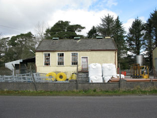 Togher Creamerycreamery · 1086 yd
 Keenrath Bridgebridge · 1.0 mi
 Wedge tomb in KeenrathWedge tomb · 1.1 mi
 Man-made underground passage in KeenrathMan-made underground passage · 1.3 mi
 Funmanway Adventure LandHeritage attraction · 2.2 mi
 Mount GunneryMountain / peak · 2.4 mi
 Gortnahoughtee Mass RockNamed rock · 2.5 mi
 Mount ProspectMountain / peak · 3.2 mi
 Graveyard in Dunmanway NorthGraveyard · 3.6 mi
 Castle (Site of)Castle, Anglo-Norman masonry castle · 3.6 mi
 Dunmanway Heritage CentreVisitor information · 3.6 mi