What is recorded here
Raised circular area (int. diam. c. 38m) enclosed by an earthen bank and a fosse. Perimeter is encircled by a modern field boundary. Slight depression in bank with accompanying causeway at SE represents original entrance. Densely overgrown with vegetation.
From the National Monuments Service (Archaeological Survey of Ireland) record CV021-010
The monument record does not grant public access. Check the route and ask the landowner before entering private land.
- What survives
- Recorded monument
Places near here
Photo credits
- Eric Jones, Geograph · Creative Commons Attribution-ShareAlike 2.0
- National Inventory of Architectural Heritage
- Eric Jones, Geograph · CC BY-SA 2.0
- Deadstar, Wikimedia Commons · CC BY-SA 4.0
- Pamela Norrington, Wikimedia Commons · CC BY-SA 2.0
Giant's GraveArchaeological place · 1641 yd Church of the Immaculate ConceptionChurch/chapel · 1.4 miRookery WoodForest · 1.6 miGiant's GraveArchaeological place · 1.6 miCurravogy BridgeBridge · 1.6 miCastleCastle, unclassified · 2.5 miDernaskeaghMountain / peak · 2.7 miCormeen Glebe ForestForest · 2.8 miCastleCastle, unclassified · 3.0 miFin Mc Cools FingersStone row · 3.5 miCorickMountain / peak · 3.7 miCabragh RingfortArchaeological place · 4.4 mi
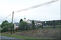 Church of the Immaculate ConceptionChurch/chapel · 1.4 miRookery WoodForest · 1.6 miGiant's GraveArchaeological place · 1.6 mi
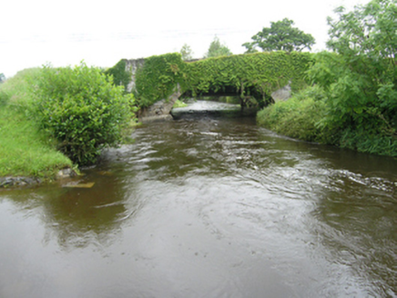 Curravogy BridgeBridge · 1.6 miCastleCastle, unclassified · 2.5 miDernaskeaghMountain / peak · 2.7 mi
 Cormeen Glebe ForestForest · 2.8 miCastleCastle, unclassified · 3.0 mi
 Fin Mc Cools FingersStone row · 3.5 miCorickMountain / peak · 3.7 mi
 Cabragh RingfortArchaeological place · 4.4 mi
More archaeology and monuments in County Cavan · All of County Cavan
What do you know about this place?