What is recorded here
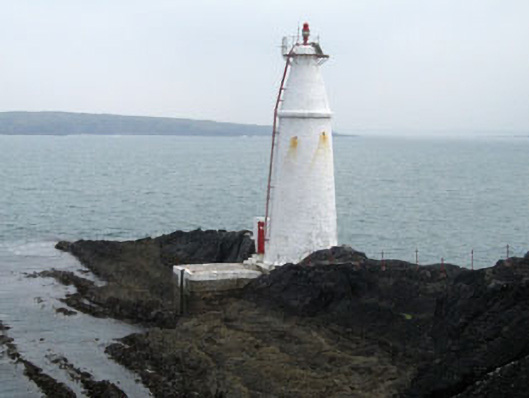
Freestanding circular-plan navigation beacon with tapered shaft, built 1864. Lime-washed coursed block work construction with string course and flat-top cap stone. Shuttered concrete landing platform to north and square-plan single-bay single-storey outbuilding to east, added c.1975. Light fixings, access ladder and balcony, c.1975.
This impressive navigation beacon was approved in 1861 and contracted to Mr. Limerick for completion at a cost of £537. By 1972 the Inspecting Committee suggested a light be put in place at the beacon and this was completed by April 1977. It forms an important element of the maritime history of West Cork and Long Island.
From the Buildings of Ireland (National Inventory of Architectural Heritage) record 20914811
This does not grant access. Most recorded buildings are privately owned; view them only from public ground unless the owner allows entry.
Places near here
Photo credits
- National Inventory of Architectural Heritage
- D.Camier, Wikimedia Commons · CC BY-SA 4.0
- Richard Webb, Wikimedia Commons · CC BY-SA 2.0
- Martin Southwood, Geograph · CC BY-SA 2.0
- Richard Webb, Geograph · CC BY-SA 2.0
Coosheen PointHeadland · 1148 yd Fastnet HouseHouse · 1266 ydStructure in SkullStructure · 1574 ydSailor's HillViewpoint · 1713 ydSchull HarbourBay · 1.1 miGraveyard1.2 miLong IslandIsland · 1.2 miGrove HouseHotel · 1.5 miBawn in ArdintenantBawn · 1.6 miCastle (in Ruins)Castle, tower house · 1.6 miConey IslandIslet · 1.7 miCadogan's StrandHeritage attraction · 1.8 mi
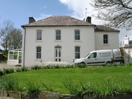 Fastnet HouseHouse · 1266 ydStructure in SkullStructure · 1574 ydSailor's HillViewpoint · 1713 ydSchull HarbourBay · 1.1 mi
 Graveyard1.2 mi
 Long IslandIsland · 1.2 mi
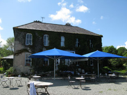 Grove HouseHotel · 1.5 miBawn in ArdintenantBawn · 1.6 mi
 Castle (in Ruins)Castle, tower house · 1.6 mi
 Coney IslandIslet · 1.7 miCadogan's StrandHeritage attraction · 1.8 mi
More historic places in County Cork · All of County Cork
What do you know about this place?