What is recorded here
Raised circular area (int. diam. c. 28m) enclosed by a low earthen bank and a wide, deep fosse. Outer earthen bank identifiable from ENE-SE-SSW appears to be the result of modern excavation of the fosse which now forms part of the field drainage system. Narrow break in bank with accompanying causeway at E represents original entrance.
The above description is derived from the published 'Archaeological Inventory of County Cavan' (Dublin: Stationery Office, 1995). In certain instances the entries have been revised and updated in the light of recent research.
Date of upload/revision: 22 December 2008
A local fairy fort (ringfort/rath); wider significance not recorded.
The monument record does not grant public access. Check the route and ask the landowner before entering private land.
- What survives
- Recorded monument
Places near here
 Cooney's FortArchaeological place · 6 yd
 NolaghWood · 311 yd
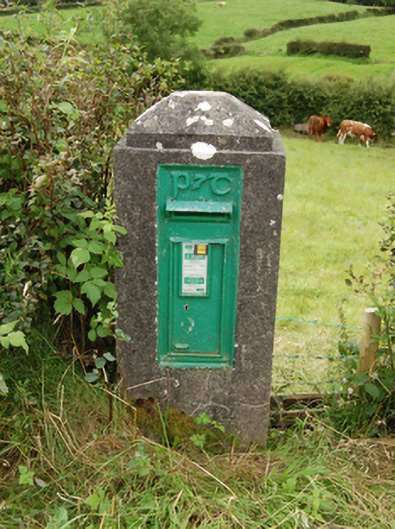 post boxpost box · 918 yd
 St. Annes Well (Site of)Holy well · 1197 yd
 Church in RuinsChurch · 1296 yd
 Derrynure Bog WoodlandWood · 1297 yd
 DerrynureMountain / peak · 1379 yd
 CorravillaMountain / peak · 1.5 mi
 Green IslandIsland · 1.7 mi
 Welcome to Bailieborough DemesneVisitor information · 2.0 mi
 Bawn in Skeagh (clankee By.)Bawn · 2.3 mi
 Rebel HillMemorial · 2.4 mi