Conwal Graveyard, recently extended and still in use is the site of an early ecclesiastical settlement possibly as old as the 7th century (Gwynn and Hadcock 1970, 33). Within the graveyard (
DG053-029008-) is a holy well (
DG053-029002-) (Ó Muirgheasa No. 78) and the ruins of a church (
DG053-029001-). Colhoun (1970, 241) notes that the site was tidied up about 1968 and a grassy rectangular mound (DG053-029007-) at right angles to the S wall of the church was made into a rectangular cairn of stones, the flat top of which is paved with grave-slabs. In addition, there are a number of upright slabs of which six have cruciform designs, one a human figure and three are uninscribed. Five cross slabs are lying unfixed on the cairn. Three recumbent cross-slabs are set in the cairn. There are twelve other graveslabs on the cairn, one late 19th century, the others plain and uninscribed some of them trapezoidal in plan. Conwal Old Church: Described in 1622 as being in ruins (Royal Commission, 215), only 'the south wall, about 15 feet high and a part of the north wall which is nearly level with the ground' remained in 1835 (O'Flanagan 1927, 80). The church is 17.5m by 6.5m internally and the surviving original fabric comprises the central ivy-covered section of the S wall, 4.5m high, and the lower courses of the N wall. The remaining church walls, 1.5m high, are much rebuilt; the doorway in the S wall and a short dividing wall at the W end of the church may not be original features. At the E end of the church, within an area enclosed by a modern surround, is a broken altar base. The sides are chamfered to corner stops which supported diagonal engaged corner pillars. On top of this base are a number of cut stones (
DG053-029023), fragments of four rotary quern-stones and a small rock-basin with a shallow, depression. Among the dressed stonework is one piece with a medieval moulding profile and two sand-stone fragments with characteristic Romanesque ornament. There are two other dressed blocks with diagonal tooling on the altar base and others have been incorporated in the rebuilt fabric of the S and E walls. (1) 9m SW of the church is a stone .8m × 0.75m × 0.16m set in a grave surround. It has a central rectangular hole .36m × 0.09m. This may have served as a cross socket (
DG053-029003-). (2) A slab (
DG053-029004-) .74m × 0.29m × 0.1m set in the SW corner of the cairn. On the E face is an incised wheeled- cross with a small circular depression at the centre. (3) Only the bottom of this slab (
DG053-029005-) survives .55m × 0.27m × 0.13m. A shallow groove seems to be the bottom of a cross shaft on the E face. (4) A slab (DG053-029008) .95m × 0.24m × 0.07m broken on its S side. A simple cross is grooved on the E face. (5) A slab (
DG053-029009-) .84m × 0.6m × 0.09m lying on top of the W side of the cairn. A cross with T-bar terminals is cut near the top. There are four small cupmarks on the lower left side. (6) A slab (
DG053-029010-) .5m × 0.27m × 0.16m lying on top of the cairn. A cross with bifurcated terminals is carved on this below the arms. Characteristically Irish letters can be barely discerned, ELM to the right, E to the left. (7) A small broken piece of a cross-slab (
DG053-029011-), .2m × 0.31m × 0.08m lying on top of the cairn. On one surface is carved the top half of a wheeled-cross with hollow angles. It is very badly weathered and is carved in relief. (8) A slab (
DG053-029012-) .73m × 0.29m × 0.09m lying on top of the cairn. A simple cross, formed with a broad groove, covers almost the entire face. The slab is broken on the right side. (9) A slab (
DG053-029013-) situated on the W side of the cairn .9m × 0.38m × 0.14m with rounded corners. On the E face is a lightly incised figure in an orans position (Roe 1970, 213-4). (10) A thin slab (
DG053-029014-) .52m × 0.47m × 0.05m set in the cairn. On the upper face, an equal-armed cross is incised. The arms expand slightly in Maltese fashion. A fault or crack cuts two of the arms. (11) A rectangular cross-slab (
DG053-029015-) .84mx .31m × 0.16m situated on the cairn. The present upper W side is broken. It may be that the slab is now upside down. The decoration consists of a cross in relief. A small depression occurs at the centre and four others around it, one in each angle. Another small depression occurs at the present top of the slab. (12) A slab (
DG053-029016-) .8m x.57m × 0.08m situated on the cairn is broken into a point at the top. The remains of a wheeled-cross survive. It is clear that the cross had hollow angles. The shaft has a central recessed panel. A projection below the base of the shaft, and of equal width to it, fades away towards the bottom of the slab. (13) Situated on top of the cairn at the E side is a subrectangular slab (
DG053-029017-) 1.02m × 0.21m × 0.14m. The top of this slab has two panels of design. The top comprises a swastika, the arms of which terminate in a square spiral. The lower panel has a spiral motif with an upper trumpet terminal. Above this is a T-shaped design, the arms of which return in a square terminal. The spiral design is flanked by two blank panels. (14) Only the top section of this slab (
DG053-029018-) survives, lying on top of the cairn. It is .33m × 0.3m × 0.11m. The remains of a simple Greek cross in a circle are grooved onto one face. (15) A recumbent slab (
DG053-029019-) set on top of the cairn. Tradition associates this as the burial slab of Godfrey O'Donnell who died in 1258 (Calhoun 1970, 241). It is 2.36m x.65m × 0.07m and is subrectangular in plan. The upper right corner is broken and the rest of the design is very weathered. A wheeled-cross is carved in light relief. The long shaft is flanked by crude interlace. The area above the wheel and arms is also filled with interlace. The cross has hollow angles and a base for the shaft is discernible. The four sections of the wheel have banded edges on each side with traces of small bosses between them. There are faint traces of unidentifiable ornament inside the two bottom ringed quarters. (16) A slab (
DG053-029020) .7m × 0.64m × 0.14m is set in the cairn. The upper face preserves a very worn outline of part of a wheeled-cross. Although much of it is missing, it seems to have been somewhat similar in design to (15) above. (17) 23m NE of the NE, corner of the church is an upright slab (
DG053-029021) .59m × 0.57m × 0.14m. On the E face is a small rudely carved Greek cross. It is possibly modern. (18) Calhoun (1970, 241-2) describes a carved stone (
DG053-029022) now missing. It was 2?4? high × 1?2? wide and seems to have been similar to (13) above. A swastika type design made of two bands of interlacing. In each of the corner squares, there was a small cross. Below the swastika were three square spirals and underneath this a spiral opening out into two trumpet forms (Champneys 1970, PI. XXX). The Conwal site is located on the SE slopes of Glendoon Hill above the River Swilly in good land. The above description was derived from the 'Archaeological Survey of County Donegal. A description of the field antiquities of the County from the Mesolithic Period to the 17th century.' Compiled by: Brian Lacey with Eamon Cody, Claire Cotter, Judy Cuppage, Noel Dunne, Vincent Hurley, Celie O'Rahilly, Paul Walsh and Seán Ó Nualláin (Lifford: Donegal County Council, 1983). It was undertaken in accordance with the recommendation of the National Monuments Service that an archaeological assessment take place in advance of the extension of the existing graveyard at the site. The graveyard is located c. one mile west of the town of Letterkenny, near the River Swilly, along the main Letterkenny-Churchill road (R250). This early ecclesiastical site could date from as early as the 7th century. The Annals of the F
 Conwal Wheeled Cross SlabCross-slab · 82 yd
 Godfrey O'Donnell GraveslabGraveslab · 82 yd
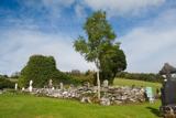 Conwal Old ChurchChurch · 84 yd
 Rockhill HouseGates/railings/walls · 891 yd
 Battlefield in Ardahee,ballyconnelly (ballymacool Ed),bomany,doon GlebeBattlefield · 1157 yd
 RockhillCountry house · 1201 yd
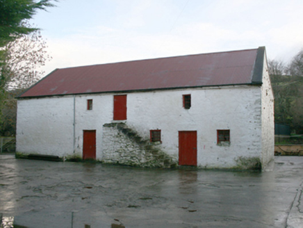 outbuilding1220 yd
 Ballymacool ParkPark · 1271 yd
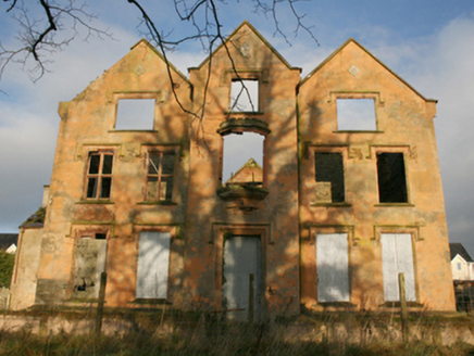 Ballymacool HouseCountry house · 1392 yd
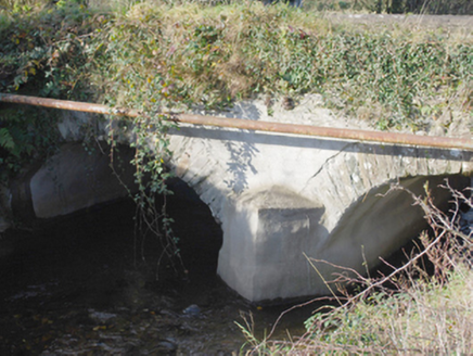 Ballyconnelly BridgeBridge · 1421 yd
 Battle of ScarrifholisBattle · 1721 yd
 Gregory HillMountain / peak · 1.9 mi

What do you know about this place?Tap to add a comment or ask a question