What is recorded here
Conwal’s grassy mound became a paved cairn about 1968, exposing cross-slabs beside an old church and holy well above the River Swilly. One fragment remains, no taller than a child’s arm, its shallow groove hinting at a lost cross. The finished graveyard still receives the dead, while the old slabs watch the living pass from one age into another.
Conwal Graveyard, recently extended and still in use is the site of an early ecclesiastical settlement possibly as old as the 7th century (Gwynn and Hadcock 1970, 33). Within the graveyard (DG053-029008-) is a holy well (DG053-029002-) (Ó Muirgheasa No. 78) and the ruins of a church (DG053-029001-). Colhoun (1970, 241) notes that the site was tidied up about 1968 and a grassy rectangular mound (DG053-029007-) at right angles to the S wall of the church was made into a rectangular cairn of stones, the flat top of which is paved with grave-slabs. In addition, there are a number of upright slabs of which six have cruciform designs, one a human figure and three are uninscribed. Five cross slabs are lying unfixed on the cairn. Three recumbent cross-slabs are set in the cairn. There are twelve other graveslabs on the cairn, one late 19th century, the others plain and uninscribed some of them trapezoidal in plan.
(3) Only the bottom of this slab (DG053-029005-) survives .55m × 0.27m × 0.13m. A shallow groove seems to be the bottom of a cross shaft on the E face.
The Conwal site is located on the SE slopes of Glendoon Hill above the River Swilly in good land.
The above description was derived from the 'Archaeological Survey of County Donegal. A description of the field antiquities of the County from the Mesolithic Period to the 17th century.' Compiled by: Brian Lacey with Eamon Cody, Claire Cotter, Judy Cuppage, Noel Dunne, Vincent Hurley, Celie O'Rahilly, Paul Walsh and Seán Ó Nualláin (Lifford: Donegal County Council, 1983). In certain instances the entries have been revised and updated.
Date of upload: 22 September 2008
The cross-slab in Conwal likely dates to the early medieval period, possibly between the 8th and 10th centuries, and may have functioned as a Christian memorial or liturgical monument within a long-standing sacred landscape. Its association with a holy well suggests it may have had both religious significance and a role in local pilgrimage or healing traditions.
The monument record does not grant public access. Check the route and ask the landowner before entering private land.
- What survives
- Recorded monument
Places near here
 Conwal Wheeled Cross SlabCross-slab · 1 yd
 Godfrey O'Donnell GraveslabGraveslab · 1 yd
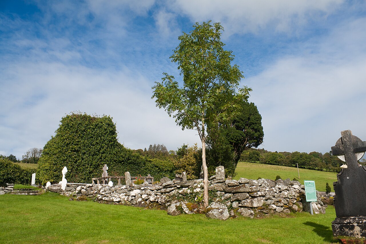 Conwal Old ChurchChurch · 10 yd
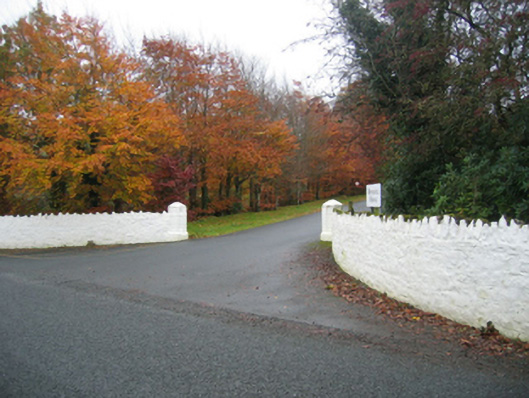 Rockhill Housegates/railings/walls · 944 yd
 Battle of Scarrifholisbattle · 1649 yd
 Site of Castle SollusCastle, unclassified · 1681 yd
 Newmills Corn and Flax MillsHeritage attraction · 1.4 mi
 Bawn in LetterkennyBawn · 1.8 mi
 Gregory HillMountain / peak · 1.9 mi
 Donegal County MuseumMuseum · 2.1 mi
 Stackarnagh Abbey GraveyardGraveyard · 3.5 mi
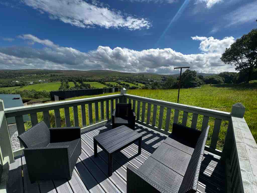 Church Hill ForestForest recreation place · 6.2 mi