
What is recorded here
In very wet low-lying terrain c. 200m W of River Suir, in pasture. On the 1st (1840) ed. OS 6-inch map this monument is depicted as an enclosure (diam. c. 35-37m) which is enclosed from ESE-N by an outer enclosure (diam. c. 72m), the bank of which meets the bank of the inner enclosure in the N quadrant. Another,…
Read the whole record
From the National Monuments Service (Archaeological Survey of Ireland) record TS052-020
Places near here
Photo credits
- National Inventory of Architectural Heritage
- Mike Searle, Geograph · CC BY-SA 2.0
- Maker not stated on source page, www.flickr.com
- Mike Searle, Wikimedia Commons · CC BY-SA 2.0
- Maker not stated on source page, ru.pinterest.com
- Steven Brown, Geograph · Creative Commons Attribution-ShareAlike 2.0
- PST Sport project photograph; individual photographer not named, pstsport.com
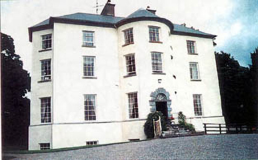 Longfield HouseCountry house · 836 yd
Explorer Tom Longfield House has an entrance bay that bows out like it’s expecting a royal visit at any moment. It’s one of those…
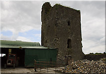 Nodstown CastleCastle, tower house · 1461 yd
Explorer Tom Nodstown Castle has a curse that only affects people who don’t wave when they pass by, because the walls are still…
 Fairy fort / earthen ringfort in NodstownFairy fort / earthen ringfort · 1492 yd
Explorer Tom Fairy fort / earthen ringfort in Nodstown is huge and probably wants to buy a yacht if it won the lotto. It’s got a…
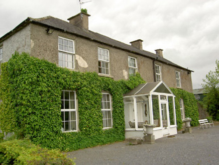 Ardmayle HouseCountry house · 1531 yd
Explorer Tom Ardmayle House is scrolling through its own history feed, wondering why the seventeenth-century part isn’t getting…
 Ardmayle Castle (in Ruins)Bawn · 1.1 mi
Explorer Tom The Ardmayle bawn is basically a giant limestone box where a fox once tried to run for county council and lost badly.…
 Forte EdwardCountry house · 1.1 mi
Explorer Tom Forte Edward in Ardmayle would introduce itself to a stranger as 'the house with the bow' and expect you to know…
Ardmayle CastleCastle · 1.1 miExplorer Tom Ardmayle Castle is forty feet tall and completely sick of people asking if it’s haunted by anything other than its own…
 Catholic Church of the Immaculate ConceptionChurch/chapel · 1.1 mi
Explorer Tom Catholic Church of the Immaculate Conception in Nodstown is all show with its mosaic and fancy ceiling, pretending it’s…
 Saint Catherine's Catholic ChapelChurch/chapel · 1.1 mi
Explorer Tom Saint Catherine's Catholic Chapel in Ardmayle East would tell its replacement that it had better bones and a clearer…
 Ardmayle CemeteryGraveyard · 1.2 mi
Explorer Tom Ardmayle Cemetery had an unlikely celebrity friend who used to hide out here to escape tabloids and bad haircuts. They…
 Grave YardGraveyard · 1.2 mi
Explorer Tom Graveyard in Ardmayle claims a local poet fell into the ditch nearby just to get a better angle for his next ballad.…
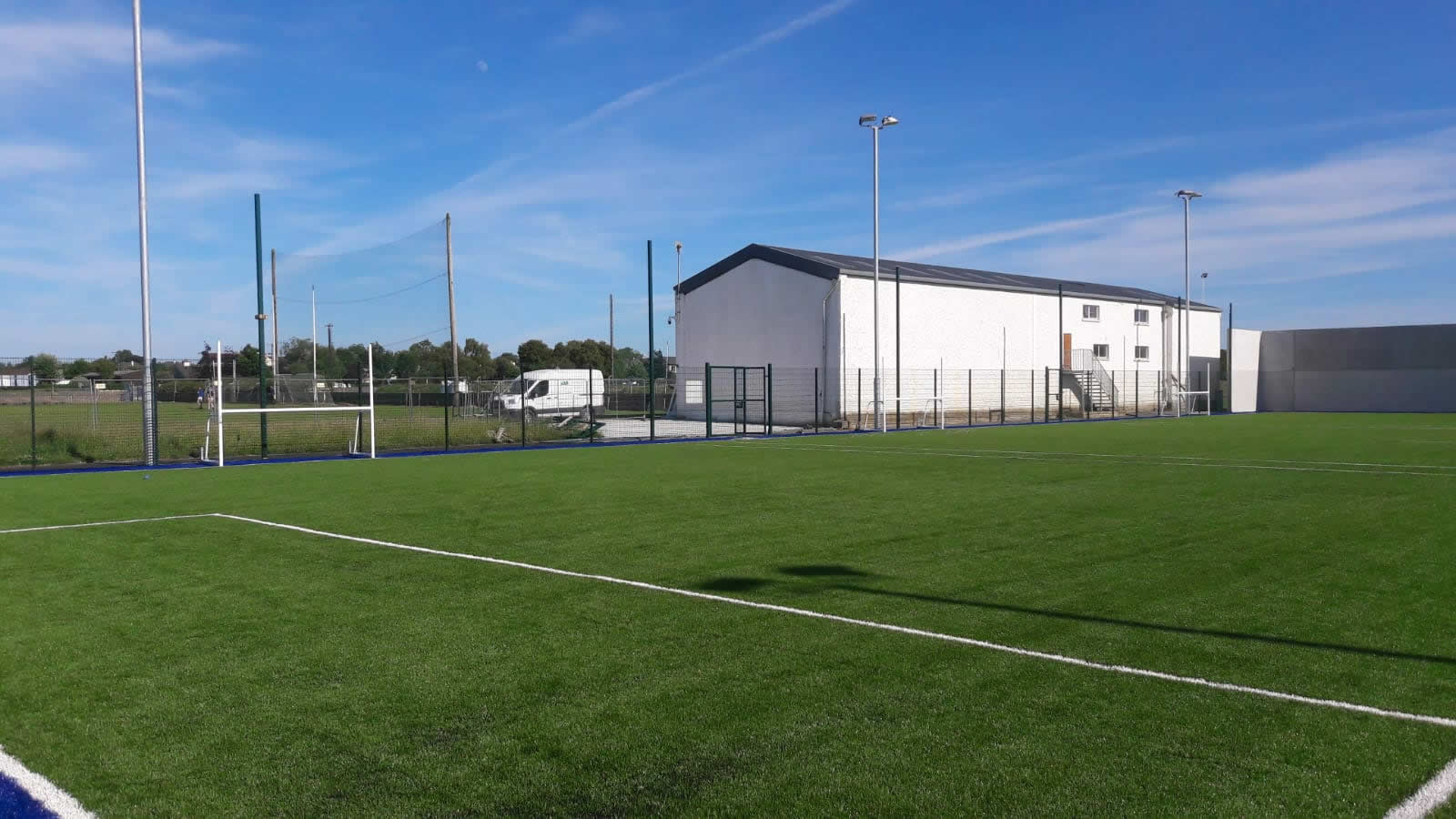 Boherlahan/Dualla GAA pitchGAA ground · 1.2 mi
More archaeology and monuments in County Tipperary · All of County Tipperary

What do you know about this place?Tap to add a comment or ask a question