
What is recorded here
One of a group of quayside 'stores ' marked on 1842 OS 6-inch map along Ballynacorra estuary (CO076-074---; CO076-080--- ). Four-bay, 4-storey, triple-gable-ended rectangular structure; now used as grain store. South side weatherslated. Yard to S enclosed by high stone wall. Access to interior not gained.
The above description is derived from the published 'Archaeological Inventory of County Cork. Volume 2: East and South Cork' (Dublin: Stationery Office, 1994). In certain instances the entries have been revised and updated in the light of recent research.
Date of upload/revision: 14 January 2009
The monument record does not grant public access. Check the route and ask the landowner before entering private land.
- What survives
- Recorded monument
Places near here
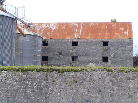 store/warehousestore/warehouse · 13 yd
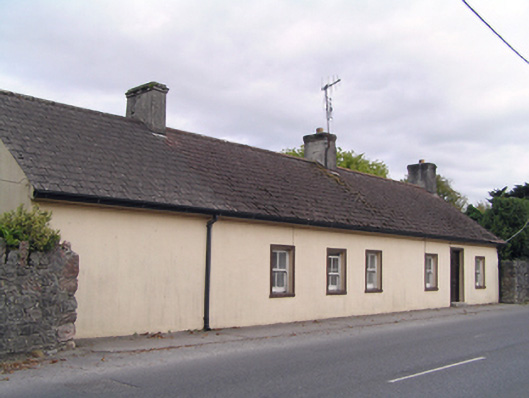 Seanuahouse · 26 yd
 Castle Redmond (Site of)Castle, unclassified · 327 yd
 MalthouseMaltings · 480 yd
 Edward BransfieldMemorial · 565 yd
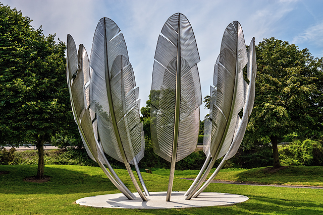 Kindred SpiritsMemorial · 568 yd
 Noel Collins BridgeVisitor information · 573 yd
 TumulusMound · 577 yd
 Ballyannan (Bluebell) WoodsForest · 606 yd
 Jameson Distillery MidletonHeritage attraction · 1437 yd
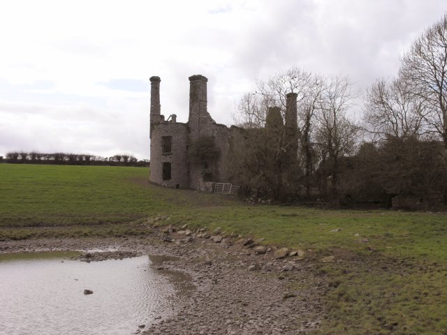 Ballyannan Castle (in Ruins)House, fortified house · 1.1 mi
 Tower WoodForest · 2.4 mi
Other information
Photo: Credit not shown in the picture search · Rights wording not checked; contact us if this picture should be removed