
What is recorded here
From OpenStreetMap (© OpenStreetMap contributors) n8334982501
Places near here
Photo credits
- Maker not stated on source page, www.dreamstime.com
- Maker not stated on source page, www.pinterest.com
- Maker not stated on source page, global-geography.org
- Mike Searle, Geograph · CC BY-SA 2.0
- National Inventory of Architectural Heritage
- Maker not stated on source page, www.alamy.com
- Mac McCarron, Geograph · CC BY-SA 2.0
- Maker not stated on source page, extra.ie
- Maker not stated on source page, www.dailymail.co.uk
- Maker not stated on source page, ru.pinterest.com
 Wedge tomb in Barryroe (carbery W. (e.d.) By.),lahardane MoreWedge tomb · 123 yd
Explorer Tom Wedge tomb in Barryroe By.), Lahardane More is built into a rock terrace on a narrow slope. It’s open to the…
 Holy well in BawnishallHoly well · 1214 yd
Explorer Tom Holy well in Bawnishall is hiding seventy metres down a laneway where zombies would get hopelessly lost in the fog.…
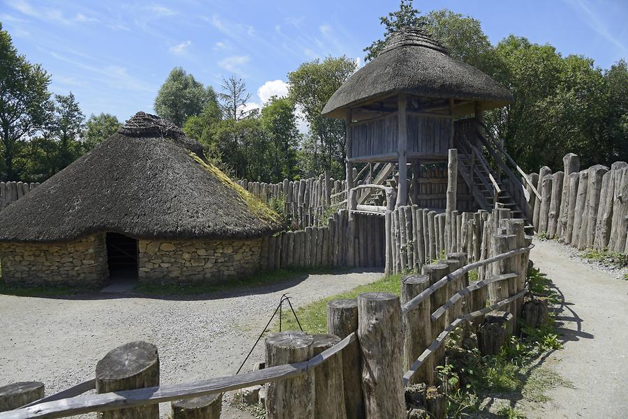 Fairy fort / earthen ringfort in Ardgehane (carbery West (e.d.) By.)Fairy fort / earthen ringfort · 1365 yd
Explorer Tom Ardgehane's lios has two upright stones that look like they’re judging you for walking past without saying hello first.…
 Holy well in CrossleaHoly well · 1412 yd
Explorer Tom Holy well in Crosslea was the 'Well of the Two White Cats' but is now difficult to find. Sounds like a fairy tale gone…
 Liss ArdGate lodge · 1638 yd
Explorer Tom Liss Ard gate lodge in Russagh is sitting at a T-junction, built by the O'Donovan family back around 1850 with a…
 Lake LodgeCountry house · 1.1 mi
Explorer Tom Lake Lodge in Russagh overlooks Lough Abisdealy from an elevated site. It’s got diagonally set chimneystacks that look…
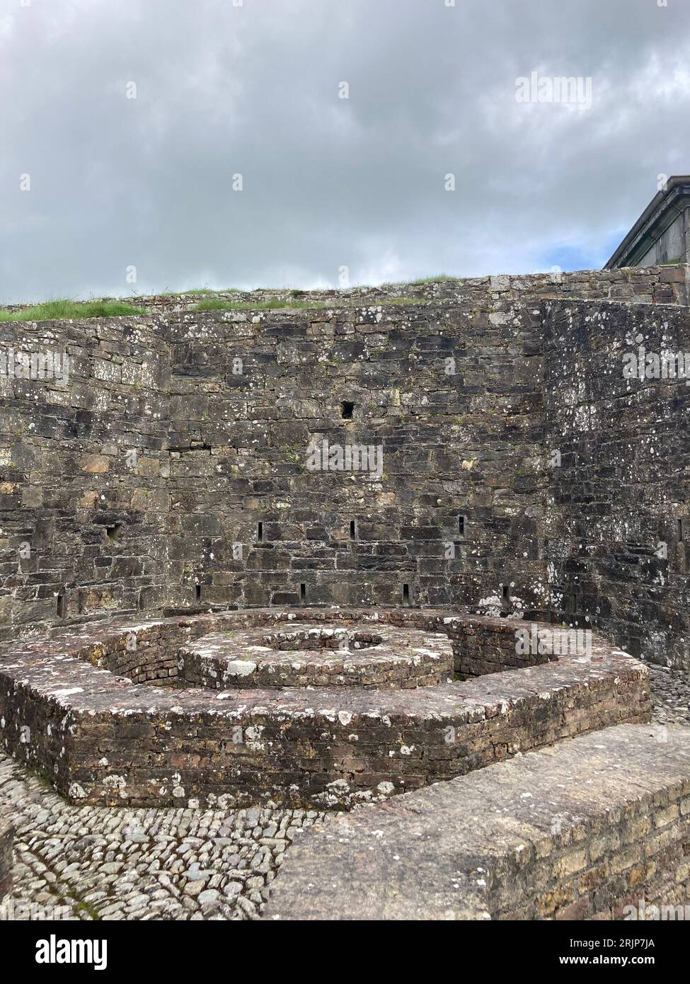 Fairy fort / earthen ringfort in Bluid WestFairy fort / earthen ringfort · 1.2 mi
Explorer Tom Fairy fort / earthen ringfort in Bluid West has a tiny gap in its bank that’s barely wide enough for a mouse, let alone…
 Drishane IslandIslet · 1.3 mi
Explorer Tom Drishane Island in County Cork would tell its younger self to stop trying so hard to be interesting and just enjoy…
 RosebankCountry house · 1.7 mi
Explorer Tom 9. Rosebank in Russagh was built by the O'Donovans as a dower house, which sounds fancy but basically means it’s the…
 An GeocánBeach / strand · 1.8 mi
Explorer Tom An Geocán was once played on all night by a fiddler who got lost and just kept going until dawn. The waves now have a…
 Lamb IslandIslet · 1.9 mi
Explorer Tom Lamb Island in County Cork is in a bitter feud with the rain, claiming it's just weathering its charm while actually…
 CastleCastle, tower house · 2.1 mi
Explorer Tom Castle in Toehead shares the same rocky headland as its bawn buddy, but it’s playing it much cooler. There was a stone…
More mountains and hills in County Cork · All of County Cork

What do you know about this place?Tap to add a comment or ask a question