What is recorded here
Fairy fort in Bluid West, County Cork: a 32 m earthen ring on a north-facing pasture slope, its shallow outer ditch partly silted and a narrow gap broken into the bank at the northwest. The shape is small enough to walk around in minutes, yet large enough to keep a herd, a family or a forgotten ceremony inside when the land around was still being decided. Cattle may have grazed over it for centuries, trusting the grass more than the history beneath their hooves.
In pasture, on N-facing slope. Circular, heavily overgrown area (diam. c. 32m) enclosed by earthen bank (H 0.95m); silted-up external fosse (max. D 0.45m to S). Break in bank to NW (Wth 1.4m).
The above description is derived from the published 'Archaeological Inventory of County Cork. Volume 1: West Cork' (Dublin: Stationery Office, 1992). In certain instances the entries have been revised and updated in the light of recent research.
Date of upload/revision: 14 January 2009
The monument record does not grant public access. Check the route and ask the landowner before entering private land.
- What survives
- Recorded monument
Places near here
 Ruins of Daly HouseholdRuins · 375 yd
 West Cork Quad AdventuresHeritage attraction · 563 yd
 Suí FinnMountain / peak · 615 yd
 Hegarty's FarmhouseRuins · 635 yd
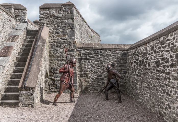 Kill FortFairy fort / earthen ringfort · 1047 yd
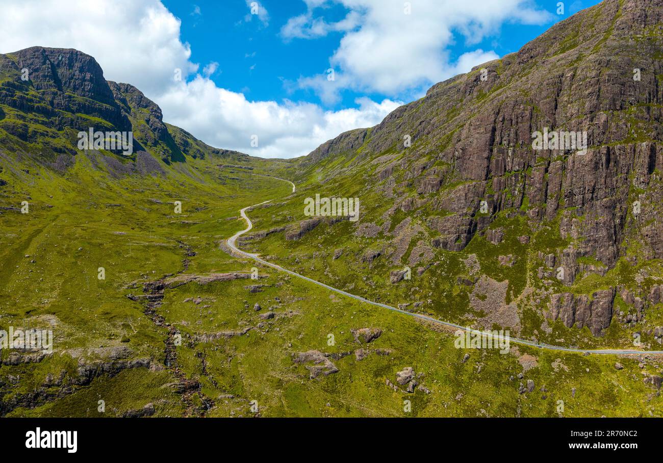 Bealach (pass)Viewpoint · 1117 yd
 Hut site in FahouraghHut site · 1169 yd
 Carraig a' ShleáinMountain / peak · 1194 yd
 Carraigín Na SúlViewpoint · 1.1 mi
 Giant's GraveArchaeological place · 1.1 mi
 Tobar an ImeSpring · 1.2 mi
 Tober an IarainnSpring · 1.2 mi