What is recorded here
From OpenStreetMap (© OpenStreetMap contributors) w1005045255
Places near here
Photo credits
- Maker not stated on source page, www.alamy.com
- Maker not stated on source page, www.tripadvisor.com.ph
- Maker not stated on source page, www.pinterest.com
- Maker not stated on source page, www.dreamstime.com
- Mike Searle, Geograph · CC BY-SA 2.0
- National Inventory of Architectural Heritage
- Maker not stated on source page, global-geography.org
- Mac McCarron, Geograph · CC BY-SA 2.0
 Fairy fort / earthen ringfort in Bluid WestFairy fort / earthen ringfort · 635 yd
Explorer Tom Fairy fort / earthen ringfort in Bluid West has a tiny gap in its bank that’s barely wide enough for a mouse, let alone…
 CastleCastle, unclassified · 888 yd
Explorer Tom Castle (Bluid East) in Bluid East, County Cork is called Dun Mic Oghmainn and might have crumbled over the cliff long…
 Church in Bawnnagollopy (carbery West (e.d.) By., Castlehaven Par.)Church · 1145 yd
Explorer Tom Church in Bawnnagollopy, County Cork, has no official record yet, so it’s basically a mystery box with a church label.…
 Enclosure in Gortbrack (carbery West (e.d) By.)Enclosure · 1357 yd
Explorer Tom Enclosure in Gortbrack sits on a rock outcrop with a man-made scarp to the west. It's oval-shaped and perched up high…
 Wedge tomb in Barryroe (carbery W. (e.d.) By.),lahardane MoreWedge tomb · 1387 yd
Explorer Tom Wedge tomb in Barryroe By.), Lahardane More is built into a rock terrace on a narrow slope. It’s open to the…
 Liss ArdGate lodge · 1.0 mi
Explorer Tom Liss Ard gate lodge in Russagh is sitting at a T-junction, built by the O'Donovan family back around 1850 with a…
 Holy well in BawnishallHoly well · 1.1 mi
Explorer Tom Holy well in Bawnishall is hiding seventy metres down a laneway where zombies would get hopelessly lost in the fog.…
 Lake LodgeCountry house · 1.1 mi
Explorer Tom Lake Lodge in Russagh overlooks Lough Abisdealy from an elevated site. It’s got diagonally set chimneystacks that look…
 Holy well in CrossleaHoly well · 1.4 mi
Explorer Tom Holy well in Crosslea was the 'Well of the Two White Cats' but is now difficult to find. Sounds like a fairy tale gone…
 RosebankCountry house · 1.5 mi
Explorer Tom 9. Rosebank in Russagh was built by the O'Donovans as a dower house, which sounds fancy but basically means it’s the…
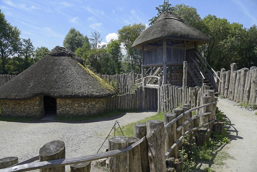 Fairy fort / earthen ringfort in Ardgehane (carbery West (e.d.) By.)Fairy fort / earthen ringfort · 1.5 mi
Explorer Tom Ardgehane's lios has two upright stones that look like they’re judging you for walking past without saying hello first.…
 Drishane IslandIslet · 2.1 mi
Explorer Tom Drishane Island in County Cork would tell its younger self to stop trying so hard to be interesting and just enjoy…
More historic places in County Cork · All of County Cork

What do you know about this place?Tap to add a comment or ask a question