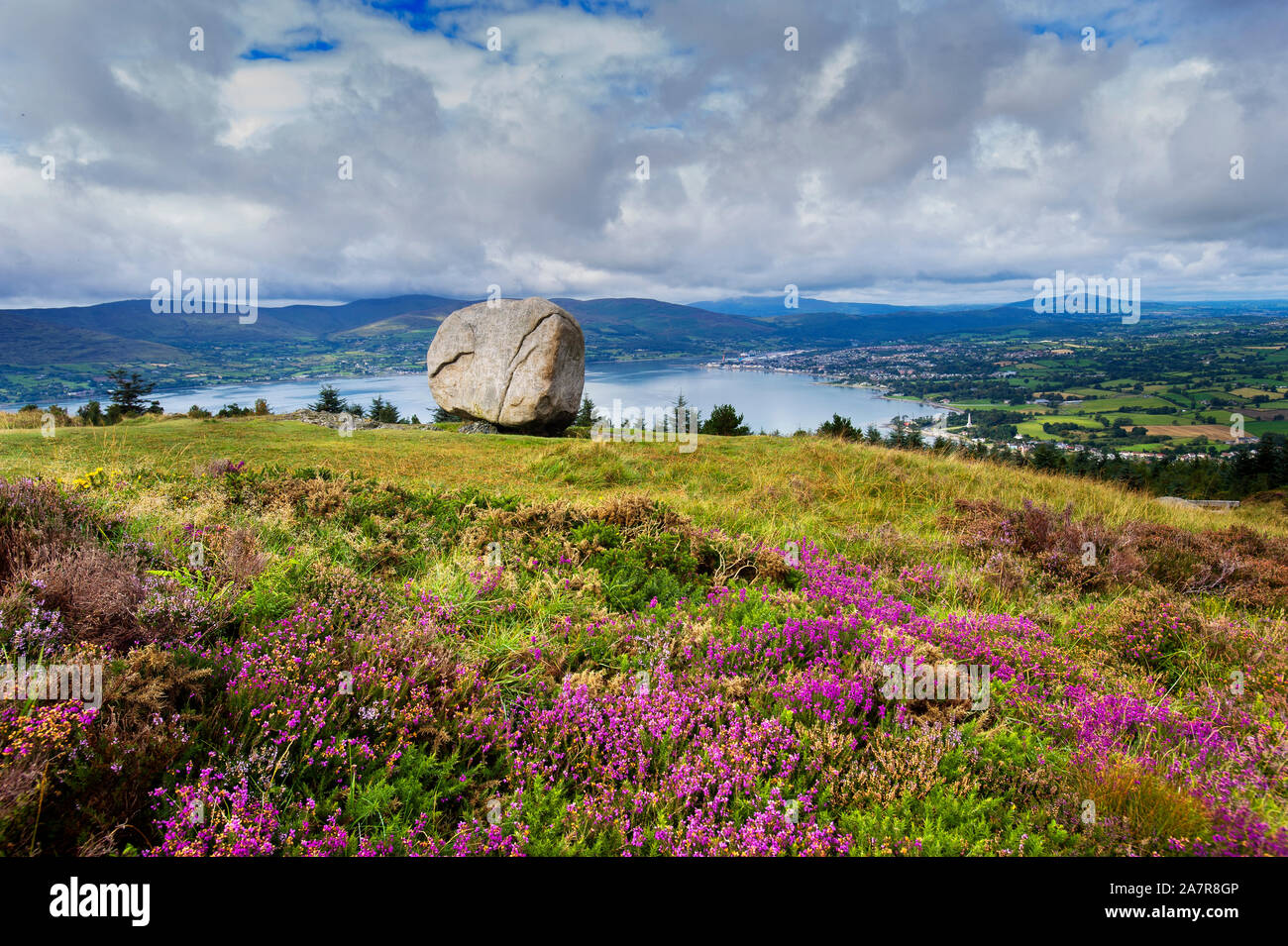
What is recorded here
Marked on the 1:2500 OS map (surveyed 1907) as 'Cloughmore'. A low boulder with a fairly flat upper surface. No markings noted on it.
Compiled by: Claire Breen
Date of upload: 9 December 2011
A local holy well or ritual site; wider significance not recorded.
The monument record does not grant public access. Check the route and ask the landowner before entering private land.
- What survives
- Recorded monument
Places near here
 The Ravens RockMountain / peak · 1092 yd
 Cooley MountainsMountain range · 1394 yd
 The Foxes RockMountain / peak · 1550 yd
 Teach AlluisSweathouse · 1704 yd
 Long Woman's GraveArchaeological place · 1.1 mi
 Teac AlluisSweathouse · 1.1 mi
 Carlingford - Slieve Foye LoopWalking route · 2.3 mi
 Carlingford Lough GreenwayWalking route · 2.4 mi
 Grave YardChurch · 2.4 mi
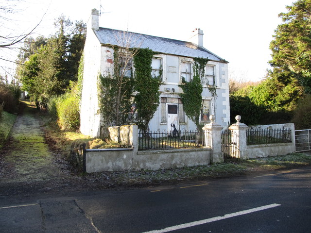 Oberon Villahouse · 2.5 mi
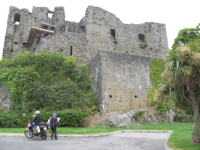 King Johns Castle in ruinsCastle, Anglo-Norman masonry castle · 2.9 mi
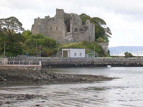 Carlingford CastleHeritage attraction · 2.9 mi
Other information
Photo: Credit not shown in the picture search · Rights wording not checked; contact us if this picture should be removed