DDiscover AloneMapAbout

Clogas

Church

The monument record does not grant public access. Check the route and ask the landowner before entering private land.

What do you know about this place?Tap to add a comment or ask a question

What you write will be public.

What is recorded here

National Monument No. 91. In pasture close to the highest point of Inchcleraun on Lough Ree. This is one of six churches on the island, four (LF021-048002/003/004/006-) of which are located within an ecclesiastical enclosure (LF021-048001-) c. 400m to the SE. The fifth church (LF021-048007-), which is just outside the…

Read the whole record
National Monument No. 91. In pasture close to the highest point of Inchcleraun on Lough Ree. This is one of six churches on the island, four (LF021-048002/003/004/006-) of which are located within an ecclesiastical enclosure (LF021-048001-) c. 400m to the SE. The fifth church (LF021-048007-), which is just outside the enclosure, is c. 450m to the SSE. According to Daniel Grose, this building was known as 'Clogás an Oileáin' or the 'bell tower of the island' (Stalley 1991, 81). It consists of a 13th-century church (ext. dims. 11.65m E-W; 7.1m N-S; int. dims. 10.55m E-W; 5m N-S; wall T. 0.8m) with a four-storey tower (int. dims. 1.85m N-S; 1.85m E-W; wall T 0.85m) at its NW end. The S walls of the church and the tower were rebuilt by the Board of Works in 1882-3 (51st Rep. public works, Ire. 1882-3, 101) but a 19th-century photograph gives an idea of their condition prior to the works being carried out. The SE and SW angles of the church had been robbed out and only the wall-footings of the S wall survived. There appears to have been a break at the W end of the N wall. Both gables survived to their original height and the tower incorporated the apex of the W gable. Doorways on the ground and first floors in the centre of the W gable accessed the tower and there was a single-light, round-headed window in the E gable. The church is constructed of roughly coursed limestone blocks. As indicated on the photograph both gables and most of the N wall survive to their original height. No trace of the original doorway survives. The simple round-headed window in the E gable is constructed of ashlar masonry. There is a small flat-headed aumbry in this wall close to the SE angle. Another aumbry can be seen in the N wall, close to the NE angle. The E splay of a window is visible at the E end of the S wall and the lower half of another window is evident at the W end of the N wall. Broken-out doorways on the ground and first floors in the W gable accessed the adjoining tower. It appears that there was formerly a two-storey priest’s residence at the W end of the church. Two possible beam holes near the N end of the W gable indicate the first-floor level. Chamfered jambstones of two adjoining doorways near the W end of the interior of the church are also associated with this residence. One lead to a mural stairs (Wth 0.75m), which accessed the first-floor and the tower, while the second accessed the main body of the church. All the floors in the tower were wooden and were carried on wall plates, the beam holes of which are still visible at each floor level. There are no windows on the ground floor. Simple flat-headed opes are visible in the W wall at first-floor level, opposite the doorway, and in the N and S walls at fourth-floor level. According to Stalley (ibid.), the bell tower is a later addition that incorporated the top of the gable of the pre-existing 13th-century church. However, the W gable is bonded into the N and S walls of the tower suggesting that they are contemporary. It is possible that the earlier church was remodelled in the 15th century when the tower and priest’s quarters were added to its W end. A change in masonry styles in the N wall may relate to the rebuilding of this wall at this time. Also the chamfered jambstones of the two doorways, at the W end of the interior, appear to date from the 15th century. Two enclosures (LF021-047----/LF021-045001-) lie c. 30m to the SSE and c. 130m to the NE respectively (Bigger 1900, 69-70, 81-3, No. 6; Moore 2007, No. 13). Carved Stone Inventory ID No. 2959 represents a sandstone jamb (H 0.28m x Wth 0.3m x D 0.23m) in the NW corner of An Clogas church. Jambstone with chamfered arris. Rebate to rear. Small socket/hole on reveal. 2 similar stones form stairway entrance to to tower in N wall. Carved Stone Inventory ID No. 2960 represents a plain sandstone voussoir (H 0.17m x Wth 0.45m x D 0.21m).

From the National Monuments Service (Archaeological Survey of Ireland) record LF021-046

Places near here

Photo credits
  • AndreasDelp, Wikimedia Commons · CC BY-SA 4.0
  • Maker not stated on source page, www.tripadvisor.com
  • National Inventory of Architectural Heritage
  • Mike Searle, Geograph · CC BY-SA 2.0
  • Maker not stated on source page, www.flickr.com
  • Maker not stated on source page, www.tripadvisor.com.au
  • Maker not stated on source page, en.wikipedia.org
  • Kieran Campbell, Geograph · CC BY-SA 2.0
InchcleraunIsland · 100 yd

Explorer Tom Inchcleraun has two names, a monastery and enough legend to keep me talking well beyond the boat ride. It lies in Lough…

Mapped graveyardGraveyard · 1.4 mi

Explorer Tom Mapped graveyard in County Longford would win the county fair by selling the oldest headstone as a vintage chair. It’s…
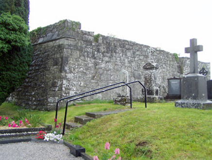
gates/railings/walls, graveyard/cemetery1.4 mi

Explorer Tom Gates in Cashel are guarding a graveyard that’s basically a zombie apocalypse waiting zone. St. Catherine’s church…
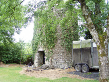
mill (wind)1.7 mi

Explorer Tom Mill in Elfeet is spinning in its sleep when nobody’s looking, grinding flour that turns into dust bunnies overnight.…

Elfeet CastleCastle, Anglo-Norman masonry castle · 2.0 mi

Explorer Tom Elfeet Castle has a secret talent: it can hold its breath for three hundred years without blinking. It sits on a slope…

Fairy fort / earthen ringfort in Glebe (rathcline By., Cashel West Ed),aghavaddenFairy fort / earthen ringfort · 2.2 mi

Explorer Tom Fairy fort / earthen ringfort in Glebe, Aghavadden got mapped wrong because the cartographer was too busy eating a…

Fairy fort / earthen ringfort in FortwilliamFairy fort / earthen ringfort · 2.4 mi

Explorer Tom Fairy fort / earthen ringfort in Fortwilliam’s builder probably thought he was making a very fancy toilet for the…
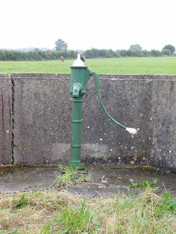
water pump2.5 mi

Explorer Tom The Water pump in Carrickmoran is having a quiet rivalry with the famous pumps elsewhere, acting like it’s the only one…

Fairy fort / earthen ringfort in Greenhall LowerFairy fort / earthen ringfort · 2.7 mi

Explorer Tom Fairy fort in Greenhall Lower inspired a bad poem once that rhymed 'mud' with 'good' and nobody has had the heart to…

Church in RinnaganChurch · 2.8 mi

Explorer Tom Church in Rinnagan had a bishop who refused to visit because the parking situation was 'suboptimal' for his chariot. He…

Fairy fort / earthen ringfort in CarrownphullFairy fort / earthen ringfort · 3.2 mi

Explorer Tom Fairy fort / earthen ringfort in Carrownphull has a tall tale about a hidden tunnel that leads directly to the back…

Rindown CastleCastle, Anglo-Norman masonry castle · 3.2 mi

Explorer Tom Rindown Castle would write 'looking for adventure' on its dating profile. It's got a bay nearby, so the views are…

More historic places in County Longford · All of County Longford

Add to this placeAdd a picture Add a detailed tip Add a story

Explore the map1,095,414 places to discover

Next place · or swipeInchcleraun