What is recorded here
National Monument No. 91. On a SE-facing slope in pasture. Depicted as a circular enclosure, divided into three unequal portions by field boundaries, with the designation ‘Grianan Meva’ on the 1837 edition of the OS 6-inch map. Described in 1899 as ‘a small circular stone fort or dwelling, and beside it some huge slabs like a tumbled cromlech, probably the remains of Queen Meava’s royal residence’ (Bigger 1900, 83). Remains comprise a low bank of earth and stone extending in an arc from WSW–W–N. Elsewhere the bank has been levelled due to the construction of field boundaries. The monument is densely overgrown with vegetation. A church (LF021-046----) lies c. 15m to the NW and a possible enclosure (LF021-045001-), reputedly the spot where Queen Meadbh was killed, lies c. 130m to the NE.
Compiled by: Patrick F. O'Donovan
Date of upload: 28 January 2012
A local fairy fort (ringfort/rath); wider significance not recorded.
The monument record does not grant public access. Check the route and ask the landowner before entering private land.
- What survives
- Recorded monument
Places near here
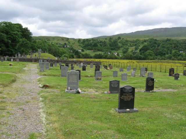 Burial ground in InchcleraunBurial ground · 40 yd
 InchcleraunIsland · 142 yd
 Church of the DeadChurch · 378 yd
 Templemurry (in Ruins)Church · 408 yd
 Holy well in InchcleraunHoly well · 432 yd
 Dogs IslandIslet · 1117 yd
 Black RockNamed rock · 1.1 mi
 Cruit PointHeadland · 1.4 mi
 St. John's WoodWood · 1.8 mi
 Elfeet CastleCastle, Anglo-Norman masonry castle · 2.0 mi
 Culnagore WoodForest · 2.2 mi
 Galey CastleCastle, tower house · 2.3 mi
Other information
Photo: Credit not shown in the picture search · Rights wording not checked; contact us if this picture should be removed