DDiscover AloneMapAbout

Cistvaen

Passage tomb
Computer-made picture that does not show CistvaenNot a photo of this monument
Computer-made picture. It does not show this monument. · Report the wrong picture

The monument record does not grant public access. Check the route and ask the landowner before entering private land.

What do you know about this place?Tap to add a comment or ask a question

What you write will be public.

What is recorded here

Situated in rough pasture towards the S end of the summit of a N-S ridge. This is an undifferentiated passage (L 6.1m; Wth 1.05m at the entrance to 1.37m) opening to the ENE, composed of a sillstone with six sidestones on each side which increase in height towards the W backstone. The side-walls have outer support…

Read the whole record
Situated in rough pasture towards the S end of the summit of a N-S ridge. This is an undifferentiated passage (L 6.1m; Wth 1.05m at the entrance to 1.37m) opening to the ENE, composed of a sillstone with six sidestones on each side which increase in height towards the W backstone. The side-walls have outer support walls. Two of the original five lintels are in place. The passage is surrounded by a kerb of 27 stones (diam. 9.15m). It was first noted by Ryland (1824, 243), followed by the Halls (Scott 1984, 117-8), and described by Reade (1868-9) who called the ridge Carrick a Dhirra. Later commentators found it unchanged (Atkins 1896; Ó Nualláin and Walsh 1986, 25). It was excavated in 1939 by J. Hawkes (1941) when the cremated remains of two individuals and a stone pendant were found in the passage, although it had previously been robbed-out (Reade 1868-9, 161-2). The covering cairn (diam. c. 15.25m) had spilled outside the orthostats, and it may have had an outer kerb of dispersed orthostats. The cairn contained secondary burials, all cremations, one with a bowl food vessel (Ó Ríordáin and Waddell 1993, 139), three with cordoned urns (Kavanagh 1976, 374-5), one of which had a pygmy cup (Kavanagh 1977), and an unclassifiable urn. The cremated remains of at least five others were found in two pits. Finds associated with the secondary burials consist of a razor, a faience bead and perforated bone pins. Atkins, R. (1896) The rude stone monuments of our own and other lands. WAJ. Vol. 2, 131-61. Hawkes, J. (1941) Excavation of a megalithic tomb at Harristown, Co. Waterford. JRSAI, vol. 71, 130-47. Kavanagh, R. (1976) Collared and cordoned cinerary urns in Ireland, PRIA 76C, 293-403. Kavanagh, R. (1977) Pygmy cups in Ireland, JRSAI, vol. 107, 61-95. Ó Nualláin, S. and Walsh, P. (1986) A reconsideration of the Tramore passage tombs. PPS 52, 25-9. O'Ríordáin, B. and Waddell, J. (1993) The funerary bowls and vases of the Irish Bronze Age. Galway University Press. Reade, Rev. G. H. (1868-9a) Proceedings. JRSAI, vol. 10, 159-62. Ryland, Rev. R. H. (1824) The History, topography and antiquities of the county and city of Waterford. John Murray. London. Scott, M. (Ed.) (1984) Hall's Ireland. Mr. And Mrs. Hall's tour of Ireland, 1840. Sphere. London. Waddell, J. (1990) The Bronze Age burials of Ireland. Galway University Press.

From the National Monuments Service (Archaeological Survey of Ireland) record WA027-007

Places near here

Photo credits
  • Maker not stated on source page, en.wikipedia.org
  • Maker not stated on source page, account.travel
  • National Inventory of Architectural Heritage
  • Paul O'Farrell, Geograph · CC BY-SA 2.0
  • Noel Browne / Waterford News & Star, www.waterford-news.ie
  • Maker not stated on source page, fi.pinterest.com
  • Golfing in Ireland; photographer not stated, Source publisher
Harristown Passage TombArchaeological place · 4 yd

Explorer Tom Harristown Passage Tomb would survive a zombie apocalypse just by sitting there and being incredibly difficult for the…
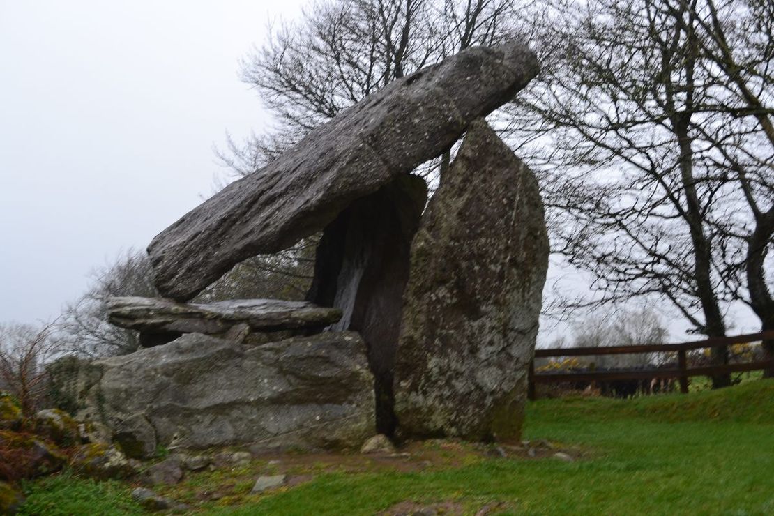
Bullaun stone in KilmacombBullaun stone · 328 yd

Explorer Tom Bullaun stone in Kilmacomb vanished from the church after a smuggling ring got confused about whether it was contraband…

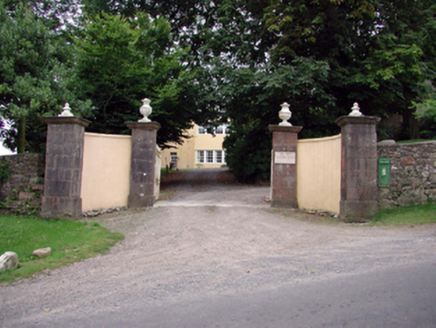
Island ViewGates/railings/walls · 1.1 mi

Explorer Tom Island View in Fornaght is a gateway that probably drank forty cups of tea before it even finished building itself. The…
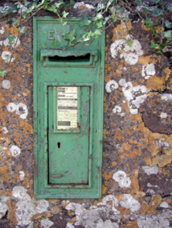
post box1.1 mi

Explorer Tom That post box in Ballyglan has a pigeon living in it who refuses to leave, claiming it's his ancestral home now. The…
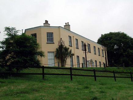
Ballyglan HouseCountry house · 1.1 mi

Explorer Tom Ballyglan House is incredibly proud of its panoramic view over Woodstown Strand, which it thinks makes it the king of…

Killea National SchoolOfficially recorded historic building · 1.4 mi

Explorer Tom Killea National School is sitting pretty on Knockacurrin, looking like it hasn't had a proper lesson since the school…
Historic buildingOfficially recorded historic building · 1.4 mi

Explorer Tom Historic building in Knockacurrin is locked in an endless feud with the rain, which seems to think it owes a personal…

HayesHouse · 1.4 mi

Explorer Tom Hayes in Leckaun would post a selfie of its thatch roof with the caption 'Living my best low-life history' right now.…
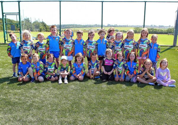
Gaultier GAA ClubGAA ground · 1.7 miWoodstown StrandBeach / strand · 1.8 mi

Explorer Tom Woodstown Strand is currently in a heated argument with the nearest tree about who looks better from the east side. The…

Graveyard in Kilcop UpperGraveyard · 1.8 mi

Explorer Tom Kilcop Upper holds a fake world record for being the least visible graveyard on a small elevated plateau in County…
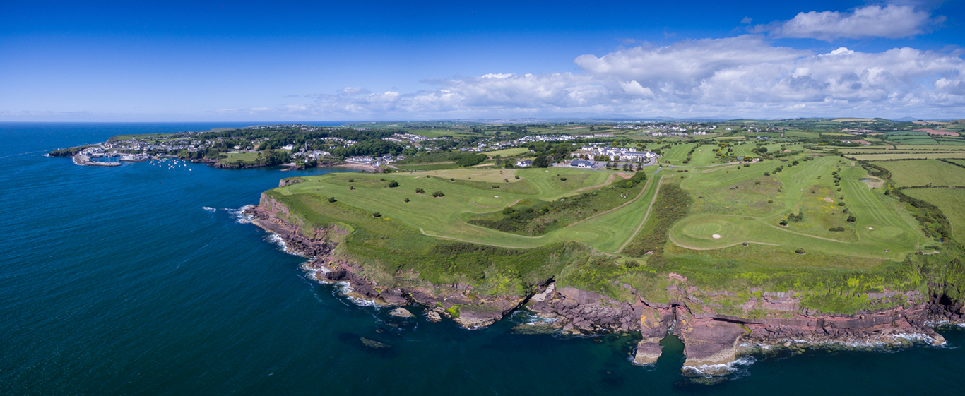
Dunmore East Golf ClubGolf course · 2.0 mi

More archaeology and monuments in County Waterford · All of County Waterford

Add to this placeAdd a picture Add a detailed tip Add a story

Explore the map1,095,414 places to discover

Next place · or swipeHarristown Passage Tomb