What is recorded here
Situated on a col below Carrickaruppera rock outcrop, c. 300m to the N and an area of rock outcrop c. 100m to the SE. A short end of a rectangular long cist (dims. 2.3m x 0.6m) defined by slabs set on edge abutted the inner edge of ring-cairn (WA014-009001-) at SE. (Moore 1995, 200, 205, K1)
Moore, M. (1995) A Bronze Age setlement and ritual centre in the Monavullagh Mountains, County Waterford. PPS 61, 191-243.
Compiled by: Michael Moore
Date of upload: 17 November 2010
A small Neolithic or early Bronze Age cist tomb, likely used for single or multiple burials. Its location on a col suggests a possible ritual or strategic significance in the landscape.
The monument record does not grant public access. Check the route and ask the landowner before entering private land.
- What survives
- Recorded monument
Places near here
 Field boundary in ScartnadrinymountainField boundary · 20 yd
 Hut site in ScartnadrinymountainHut site · 639 yd
 KilnKiln, lime · 1490 yd
 Standing StoneMemorial · 1689 yd
 Kilbrien National SchoolOfficially recorded historic building · 1.3 mi
 SeefinMountain / peak · 1.5 mi
 Coumaraglin MountainMountain / peak · 1.8 mi
 Mahon ValleyCliff · 2.8 mi
 Bawn in BarnankileBawn · 3.9 mi
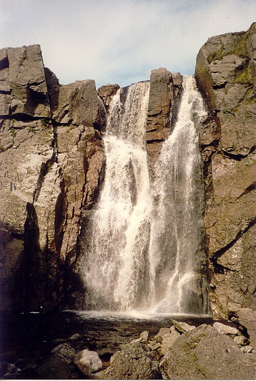 Mahon FallsWaterfall · 4.1 mi
 Magic Road (start)Heritage attraction · 4.2 mi
 Siglloges LoopWalking route · 4.6 mi