
What is recorded here
Situated on a col below Carrickaruppera rock outcrop, c. 300m to the N and an area of rock outcrop c. 100m to the SE. A relict field wall (Wth 2m; L 54m) extending E-W is situated between ring-cairn (WA014-009001-) and cairn (WA014-009003-). It was damaged by forestry operations in 1993, but the area remains unplanted.
The above description is derived from the published 'Archaeological Inventory of County Waterford' (Dublin: Stationery Office, 1999). In certain instances the entries have been revised and updated in the light of recent research.
Compiled by: Michael Moore
Date of upload: 17 November 2010
The monument record does not grant public access. Check the route and ask the landowner before entering private land.
- What survives
- Recorded monument
Places near here
 Hut site in ScartnadrinymountainHut site · 629 yd
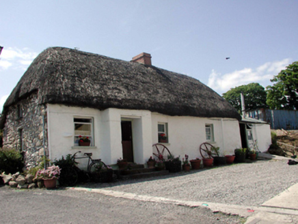 Hut site in Barracreemountain LowerHut site · 900 yd
 KilnKiln, lime · 1484 yd
 Standing StoneMemorial · 1673 yd
 Kilbrien National SchoolOfficially recorded historic building · 1.3 mi
 SeefinMountain / peak · 1.5 mi
 Coumaraglin MountainMountain / peak · 1.8 mi
 Mahon ValleyCliff · 2.8 mi
 Bawn in BarnankileBawn · 3.9 mi
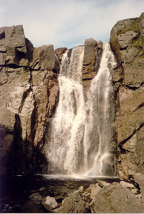 Mahon FallsWaterfall · 4.1 mi
 Magic Road (start)Heritage attraction · 4.2 mi
 Siglloges LoopWalking route · 4.6 mi
Other information
Photo: Credit not shown in the picture search · Rights wording not checked; contact us if this picture should be removed