
What is recorded here
Situated in elevated area of tillage, in an undulating landscape, with good views in all directions. Not depicted on the 1837 OS 6-inch map or on the revised 1913 ed. OS 25-inch map. Monument described in 1985 as a very small trapezoidal-shaped cist (dims. 0.21m NW-SE; max. Wth 0.43m NE-SW), narrowing at one end (min.…
Read the whole record
From the National Monuments Service (Archaeological Survey of Ireland) record WM027-072
Places near here
Photo credits
- National Inventory of Architectural Heritage
- Maker not stated on source page, www.pinterest.com
- JP, Wikimedia Commons · CC BY-SA 2.0
- Maker not stated on source page, www.flickr.com
- Photographer not named; image published by Ciarán Leech & Associates Ltd, www.ciaranleech.ie
- Maker not stated on source page, www.newslocker.com
- Maker not stated on source page, www.britainexpress.com
 20th LockLock · 704 yd
Explorer Tom Twentieth Lock in Ballagh was once offered to a cow who refused because she didn't have enough money for the upkeep.…
 Saint CamillusGates/railings/walls · 785 yd
Explorer Tom Saint Camillus gates are judging your outfit with intense Victorian precision. The seagulls say they look like fancy…
 CastleCastle, unclassified · 804 yd
Explorer Tom Castle in Cushinstown is playing hard to get, hiding behind a farmer's tractor that definitely isn't moving anytime…
 Saint Joseph's National SchoolSchool · 836 yd
Explorer Tom Saint Joseph's National School in Rathwire Lower has a ghost that is too lazy to haunt it, preferring to nap in the…
 gates/railings/walls846 yd
Explorer Tom Gates in Rathwire Lower is playing hard to get on Riverstown Road. It’s got that Long Longford vibe but no actual doors…
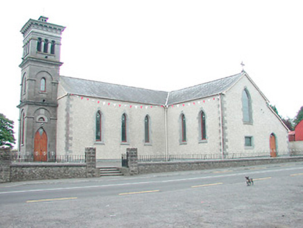 Saint Joseph's Catholic ChurchChurch/chapel · 864 yd
Explorer Tom Saint Joseph's Catholic Church in Rathwire Lower is preparing its tombstone right now because it knows it’s going to…
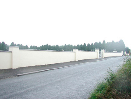 Saint Joseph's CemeteryGraveyard/cemetery · 870 yd
Explorer Tom Saint Joseph's Cemetery had a prophecy that it would become a skate park, but nobody listened. It’s got gravestones…
 19th LockLock · 877 yd
Explorer Tom Nineteenth Lock in Cushinstown would describe the 1800s to a teenager as 'when we had better lighting and less Wi-Fi.'…
 Rathwire Moat & CastleCastle, unclassified · 1120 yd
Explorer Tom Rathwire Moat & Castle loves to sing 'Sweet Caroline' but only in a minor key because it’s feeling dramatic today. It’s…
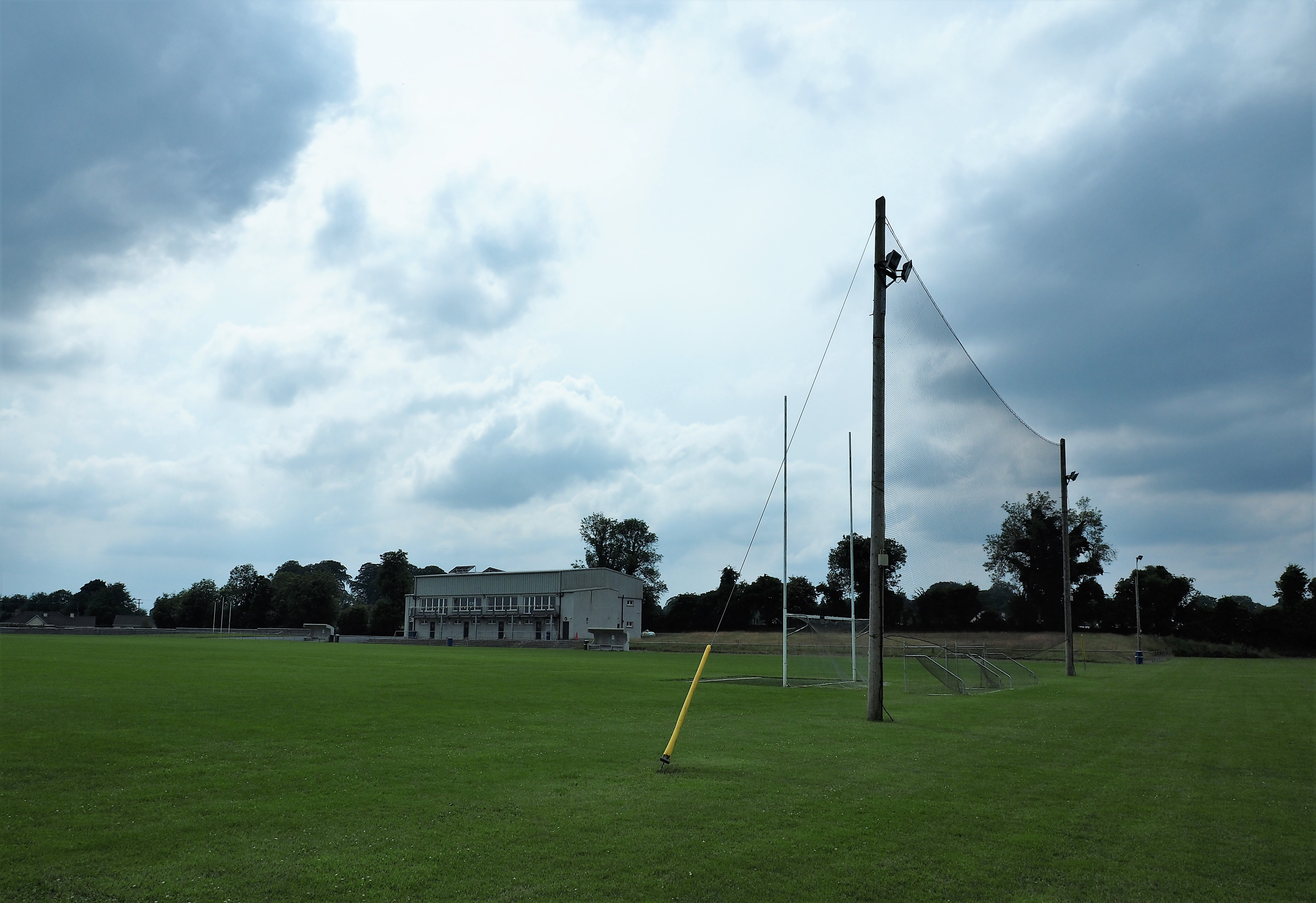 Killucan GAA pitchGAA ground · 1313 yd
 Holy well in Glebe (farbill By.)Holy well · 1583 yd
Explorer Tom Holy well in Glebe would survive a zombie attack by hiding under the water where they’re too scared to look. St.…
 Standing stone in Porterstown (cooke)Standing stone · 1600 yd
Explorer Tom Standing stone in Porterstown is guarding a hidden treasure that is definitely just a rusty biscuit tin from 1952 that…
More archaeology and monuments in County Westmeath · All of County Westmeath

What do you know about this place?Tap to add a comment or ask a question