What is recorded here
The ASI have recorded the presence of a Cist Grave in the townland of Garhy, c.3.5km west of Castletown Geoghegan, Co. Westmeath. This report seeks to clarify the actual position of the Cist as well as providing a short description of same with references. The Cist Grave known locally as ‘The Warrior’s Grave’, was described by Thomas Shaw (1921, 145) and more recently by Jim McCormack and Oliver Hussey (1990). It lies on the summit of a small, rounded hillock at the south end of a pasture field. There are wide views from the hummock to the west, north and east. The location of the cist as currently plotted on the Historic Environment Viewer (19.12.23) is somewhat inaccurate: its actual location is clearly visible on the MapGenie 2013-2018 aerial imagery at ITM 630607, 743805. The visible remains comprise a large, roughly rectangular, sandstone slab 1.65m in length, 1m in width and 0.12 to 0.2m in thickness, its long axis running east and west. Its upper surface is heavily scarred and stands 0.15m to 0.25m above the surrounding field. The slab rests on at least four side-stones which define a rectangular chamber filled with clay and stones to within 0.25m of the roof. The side-stone on the north side is clearly visible on the ground surface, suggesting that the slab is slightly displaced. McCormack and Hussey (1990, 79) recorded that the grave ‘was opened in 1969, but it was found that it had been interfered with [sic.]’.
Compiled by Caimin O’Brien based on report submitted by archaeologist Paul Gosling.
Date of Compilation: 10 November 2025
Cist in Garhy is a small stone burial chamber, typically associated with the Early Christian or Bronze Age periods in Ireland. Its significance lies in contributing to the understanding of prehistoric burial practices in the region.
The monument record does not grant public access. Check the route and ask the landowner before entering private land.
- What survives
- Recorded monument
Places near here
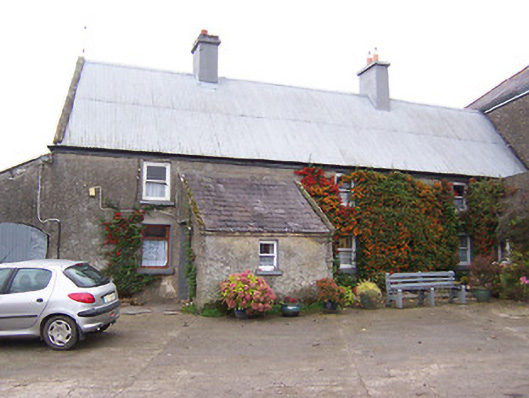 Garhy Lodgehouse · 828 yd
 OutlinedFairy fort / earthen ringfort · 887 yd
 CastleCastle, unclassified · 1369 yd
 Rockfield Househouse · 1495 yd
 IndicatedEnclosure · 1515 yd
 Adamstown Castle (in Ruins)Castle, tower house · 1.4 mi
 Sam's ParkForest · 2.6 mi
 Hill of UisneachMountain / peak · 3.3 mi
 European ashEuropean ash · 3.4 mi
 KnockastiaMountain / peak · 3.8 mi
 Kilmalady HillMountain / peak · 5.3 mi
 Charles BianconiMemorial · 8.2 mi