What is recorded here
Situated in a farmyard. Not depicted on the 1837 ed. OS 6-inch map or the revised 1913 ed. OS 25-inch map. Monument described in 1981 as no surface remains visible. According to Waddell (1970, 99) this is a Bronze Age burial consisting of a short rectangular cist (dims. 1m E-W x 0.63m N-S). It contained a portion of a disarticulated human skeleton which may represent a possible reburial. Two fragments of cremated bone were also found in this cist.
Compiled by Alison McQueen, Vera Rahilly and Caimin O’Brien.
Date of upload: 12 September 2019
Bronze Age cist; significant as a rare surviving funerary structure indicating early burial practices in the region.
The monument record does not grant public access. Check the route and ask the landowner before entering private land.
- What survives
- Recorded monument
Places near here
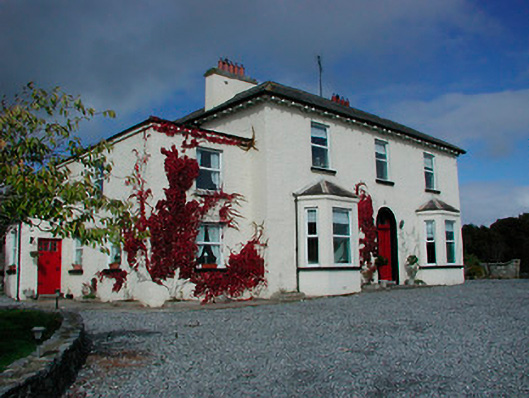 Conranstown Househouse · 131 yd
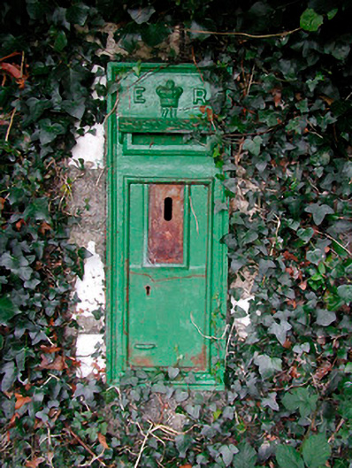 post boxpost box · 140 yd
 Enclosure in RathdrishogeEnclosure · 810 yd
 Rathdrishoge CastleCastle, unclassified · 815 yd
 Partially hachuredFairy fort / earthen ringfort · 818 yd
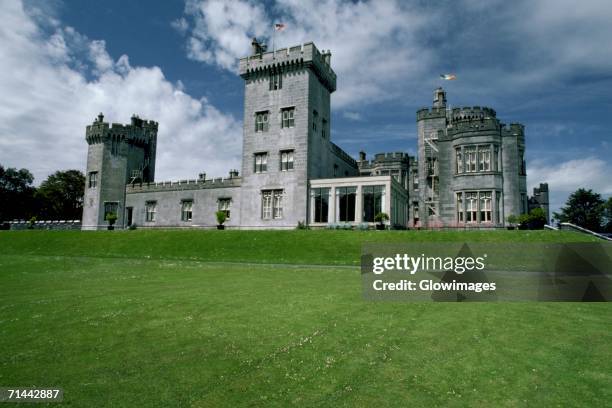 Glomerstown CastleCastle, unclassified · 958 yd
 Hill of UisneachMountain / peak · 2.9 mi
 European ashEuropean ash · 3.4 mi
 Sam's ParkForest · 3.8 mi
 Bonfire HillMountain / peak · 7.9 mi
 St. Columba's WellSpring · 9.5 mi
 Moate HillMountain / peak · 10 mi