What is recorded here
Possible remains of a levelled church standing in S quadrant of graveyard (LA032-012005-) associated with the Hartpole family of Shrule Castle (LA032-012001-). Burial ground standing on top of ridge overlooking the River Barrow 40m to the E with Shrule Castle (LA032-012001-) 35m to the SSW. In the late 18th century…
Read the whole record
From the National Monuments Service (Archaeological Survey of Ireland) record LA032-012004
Places near here
Photo credits
- Maker not stated on source page, www.thejournal.ie
- Mike Searle, Wikimedia Commons · CC BY-SA 2.0
- Maker not stated on source page, en.wikipedia.org
- National Inventory of Architectural Heritage
- Maker not stated on source page, nl.pinterest.com
- Algirdas at Lithuanian Wikipedia, Wikimedia Commons · Public domain
- Maker not stated on source page, www.alamy.com
- Maker not stated on source page, uk.pinterest.com
- Maker not stated on source page, www.dreamstime.com
- Maker not stated on source page, www.pinterest.com
 TombTomb, unclassified · 8 yd
Explorer Tom Tomb in Shrule is waiting for a hero to finally read the defaced inscriptions properly. The Hartpole family probably…
 Castle (in ruins)Castle, tower house · 52 yd
Explorer Tom Castle in Shrule is secretly proud of one specific potato that grew near its foundation, claiming it was the first one…
 Linear earthwork in ShruleLinear earthwork · 187 yd
Explorer Tom Linear earthwork in Shrule refuses to fall down because it knows it looks better standing straight than lying flat in…
 Anneville HouseFarm house · 846 yd
Explorer Tom Anneville House in Anneville, County Laois is still feuding with the next village over something daft from 1890. It’s…
 Hollymount HouseHouse · 1413 yd
Explorer Tom Hollymount House would order three chips, extra vinegar, and a side of Georgian elegance at the chipper. It has a…
 Monksgrange Church (in Ruins)Church · 1434 yd
Explorer Tom Monksgrange Church took approximately four million cups of tea to build, mostly because the monks were very thirsty.…
 bridge1514 yd
Explorer Tom Bridge in Dunmanoge would buy a jet ski if it won the lotto, just to cross the Lerr River without waiting for trains.…
 Pedunculate Oak1649 yd
Explorer Tom Pedunculate Oak in County Laois is sick of people asking if it’s haunted; it’s just got bad weather in its branches.…
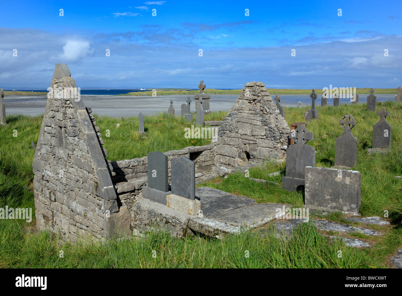 Killanure GraveyardCemetery · 1.5 mi
Explorer Tom Killanure Graveyard is haunted by a fiddler who never stopped playing, so the tunes have been looping since 1850. It’s…
 3: Birch Lady of the ForestVisitor information · 1.7 mi
Explorer Tom 3: Birch Lady of the Forest is basically the tree that thinks it’s a diva in County Kildare. She’d bring her own mirror…
 Graveyard in Clonagh (slievemargy By.)Graveyard · 1.7 mi
Explorer Tom Graveyard in Clonagh is hiding a treasure that is definitely just an old biscuit tin, but it looks so confident about…
 19: Giants of the ForestVisitor information · 1.9 mi
Explorer Tom 19: Giants of the Forest in County Kildare carries a curse that only affects people who refuse to wave hello. You’ll…
More historic places in County Laois · All of County Laois

What do you know about this place?Tap to add a comment or ask a question