What is recorded here
In gently undulating countryside. Described as a large church surmounted by a square tower, although photographs dated c. 1906 show a featureless rectangular building without the tower (O'Hanlon and O'Leary 1907, vol. 1, 289-290). No surface evidence of church survives. Some uninscribed grave-markers visible in the surrounding graveyard (LA032-009001-).
Described in the History of the Queen's County as 'Its church is shown as a large one on the Map of Leax and Ophaly, a short distance to the north of where the River Douglas falls into the River Barrow. It is called Graunge o managh or 'Farm of the Monks' on that map, and its church is shown surmounted by a square tower. The ruinous church of Grange, still to be seen, is near the castle (LA032-008001-) (O'Hanlon and O'Leary 1907, vol. 1, 289-290).
The above description is derived from the published 'Archaeological Inventory of County Laois' (Dublin Stationery Office, 1995) compiled by P. David Sweetman, Olive Alcock and Bernie Moran. In certain instances the entries have been revised and updated in the light of recent research.
Date of upload: 17 December 2007
The monument record does not grant public access. Check the route and ask the landowner before entering private land.
- What survives
- Recorded monument
Places near here
 Castle in ruinsCastle, unclassified · 511 yd
 Enclosure in Grange (ballyadams By.)Enclosure · 907 yd
 Enclosure in AnnevilleEnclosure · 989 yd
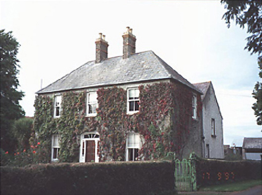 Anneville Housefarm house · 1085 yd
 Church in ShruleChurch · 1434 yd
 Castle (in ruins)Castle, tower house · 1472 yd
 Pedunculate OakPedunculate Oak · 1.3 mi
 Oak Park Forest ParkWood · 2.6 mi
 VISUAL Centre for Contemporary ArtGallery · 3.7 mi
 Carlow CastleRuined medieval castle · 3.8 mi
 Killeshin ChurchVisitor information · 3.8 mi
 Lorcán Ó TuathailMemorial · 4.1 mi