What is recorded here
Moss and marble blur along the forgotten lane, suggesting a buried chamber rather than a lost building. The land remembers pressure and shape, not human intention. What is missing is not an error; it is the shape of the lane itself.
Described in the History of the Queen's County as 'There are few ecclesiastical remains at Shrule, but there is a graveyard (LA032-012005-) near Shrule Castle (LA032-012001-). In it are the ruins of an old chapel (LA032-012004-), and within its nave are the tombs of the Hartpole's and their connexions. Many of the inscriptions there are defaced and illegible (O'Hanlon and O'Leary 1907, vol. 1, 315-16). In the s quadrant of the graveyard are the poorly preserved ivy-covered remains of low wall which appears to be the S wall of some sort of tomb or possibly the remains of a church (LA032-012004-). This wall is covered in ivy and is impossible to examine and appears to represent the S wall of a building aligned E-W. The S wall of the structure runs parallel to the S wall of the graveyard and is only 1m to the N of this wall. The SE quadrant of the graveyard was covered in trees and other vegetation making examination of this area impossible.
Compiled by: Caimin O'Brien
Date of revision: 11 December 2014
The monument record does not grant public access. Check the route and ask the landowner before entering private land.
- What survives
- Recorded monument
Places near here
 Church in ShruleChurch · 8 yd
 Castle (in ruins)Castle, tower house · 56 yd
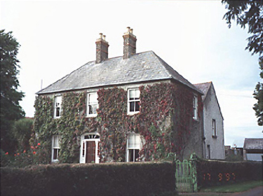 Anneville Housefarm house · 853 yd
 Enclosure in AnnevilleEnclosure · 896 yd
 Pedunculate OakPedunculate Oak · 1656 yd
 Castle in ruinsCastle, unclassified · 1.1 mi
 Enclosure in GothamEnclosure · 1.1 mi
 Church (in ruins), GraveyardChurch · 1.3 mi
 Oak Park Forest ParkWood · 1.9 mi
 VISUAL Centre for Contemporary ArtGallery · 2.9 mi
 Carlow CastleRuined medieval castle · 3.0 mi
 Killeshin ChurchVisitor information · 3.4 mi