
What is recorded here
Identified during an aerial photographic survey by Dr. Gillian Barrett on 13 July 1990 and 15 July 1991. Aerial photographs (GB90.BU.03) and (GB91.DW.26) show the cropmark of a large curvilinear enclosure defined by a fosse. The cropmark of a second, smaller enclosure (KD039-013---- ) is also visible, in the SE quadrant of the large enclosure.
Compiled by: Dr. Gillian Barrett
Date of upload: 12 December 2011
The monument record does not grant public access. Check the route and ask the landowner before entering private land.
- What survives
- Recorded monument
Places near here
 Enclosure in MonaclaudyEnclosure · 671 yd
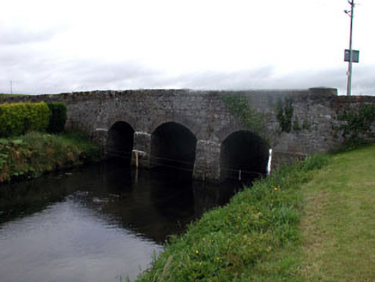 Gotham Bridgebridge · 1054 yd
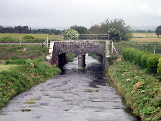 bridgebridge · 1095 yd
 Enclosure in BallaghmoonEnclosure · 1705 yd
 Oak Park Forest ParkWood · 1.1 mi
 Castle (in ruins)Castle, tower house · 1.2 mi
 Church (in ruins), GraveyardChurch · 1.4 mi
 CastleCastle, unclassified · 1.5 mi
 White willowWhite willow · 2.3 mi
 VISUAL Centre for Contemporary ArtGallery · 2.9 mi
 Carlow County MuseumMuseum · 3.0 mi
 ProclamationMemorial · 3.6 mi
Other information
Photo: Credit not shown in the picture search · Rights wording not checked; contact us if this picture should be removed