
What is recorded here
Shown as a rectangular enclosure defined by a bank with an external fosse on the 1837 OS 6-inch map (dims. c. 50m N-S x c. E-W). Aerial photographs (CUCAP ASU 83, BOC 60) show a cropmark of a broad fosse surrounding a rectangular area. Levelled c. 1890 during which 'an unflagged chamber, full of black barley and ashes.. ' which filled twenty-seven cartloads was uncovered, probably a corn-drying kiln (JKAS 1896, 193-4). Situated on a slight SW facing slope, in a tillage area. Probably a moated site. No visible surface traces.
Date of upload: 6 September 2016
A local fairy fort (ringfort/rath); wider significance not recorded.
The monument record does not grant public access. Check the route and ask the landowner before entering private land.
- What survives
- Recorded monument
Places near here
 Church (in Ruins)Church · 84 yd
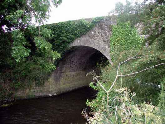 Ballaghmoon Bridgebridge · 597 yd
 Enclosure in MonaclaudyEnclosure · 1165 yd
 Gorteen MoundCastle, unclassified · 1236 yd
 Enclosure in GorteengroneEnclosure · 1346 yd
 Oak Park Forest ParkWood · 1.0 mi
 Church (in ruins), GraveyardChurch · 2.1 mi
 CastleCastle, unclassified · 2.2 mi
 White willowWhite willow · 2.3 mi
 ProclamationMemorial · 2.9 mi
 Brownshill Portal TombVisitor information · 2.9 mi
 Franciscan FriaryHeritage attraction · 3.0 mi
Other information
Photo: Credit not shown in the picture search · Rights wording not checked; contact us if this picture should be removed