What is recorded here
Half a mile east of Old Court, a lost roadway once linked Clonagh to a disused burial ground and late medieval limestone church. Comerford wrote that the grave yard still stood in 1886, yet no marker, pit or boundary has since emerged from the grass. The church may have been real, the road may have carried mourners, and the graveyard may have been invention born of a church already half forgotten.
In undulating countryside. Associated with St. Fintan (O'Flanagan, 1933 Vol II, p. 7). Remains of a late medieval limestone building (LA033-007001-). This building is shown as a large Church on the old Map of Leix and Offaly. Described by Comerford as; 'Due east of Old Court, at a distance of about half a mile, and with distinct traces of a roadway connecting both places, there is a burial ground, now disused, in the townland of Clonagh' (Comerford 1886, vol. 3, 76). No grave-markers visible. Not depicted on any edition of the OSi historic maps. No trace of a burial ground at this location and no evidence to suggest that there was a burial ground or graveyard at this location. Doubtful if there was ever a graveyard at this location.
The above description is derived from the published 'Archaeological Inventory of County Laois' (Dublin Stationery Office, 1995) compiled by P. David Sweetman, Olive Alcock and Bernie Moran. In certain instances the entries have been revised and updated in the light of recent research.
See attached Google Earth orthoimages
Revised by: Caimin O'Brien
Date of revised upload: 14 May 2021
The monument record does not grant public access. Check the route and ask the landowner before entering private land.
- What survives
- Recorded monument
Places near here
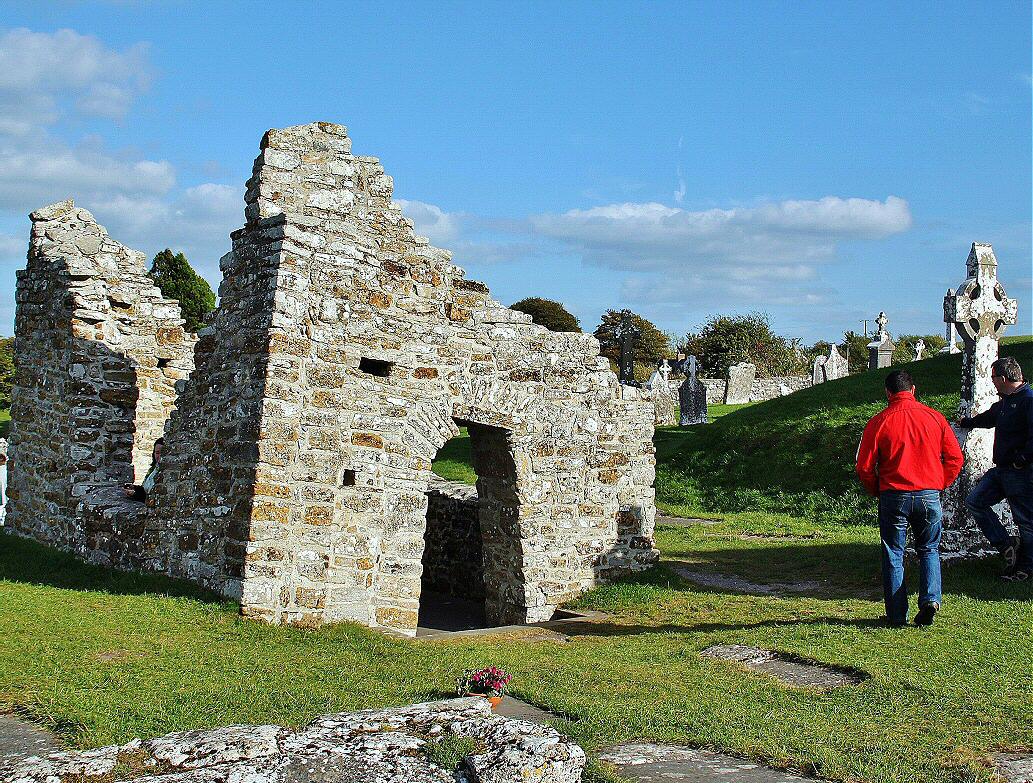 Monastery (in ruins)Religious house, unclassified · 21 yd
 Enclosure in Killeen (ballyadams By.)Enclosure · 1222 yd
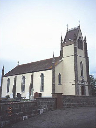 Saint Abban's Catholic Churchchurch/chapel · 1749 yd
 Enclosure in Grange (ballyadams By.)Enclosure · 1.1 mi
 Castle in ruinsCastle, unclassified · 1.3 mi
 Pedunculate OakPedunculate Oak · 1.4 mi
 Castle (in ruins)Castle, tower house · 1.7 mi
 Church (in ruins), GraveyardChurch · 2.9 mi
 European Crab AppleEuropean Crab Apple · 3.1 mi
 Killeshin ChurchVisitor information · 3.4 mi
 Carlow CastleRuined medieval castle · 4.3 mi
 VISUAL Centre for Contemporary ArtGallery · 4.3 mi