
What is recorded here
Partial cropmark of bivallate enclosure (approx. diam. 49m) to E of field boundary visible on Google earth aerial imagery.
See attached image taken from Google Earth aerial photographs taken 14/07/2018
Compiled by: Caimin O'Brien based on details provided by Jean-Charles Caillère
Date of upload: 19 September 2019
The monument record does not grant public access. Check the route and ask the landowner before entering private land.
- What survives
- Recorded monument
Places near here
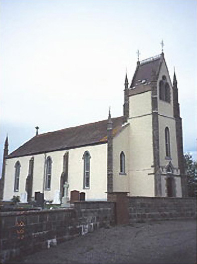 Saint Abban's Catholic Churchchurch/chapel · 538 yd
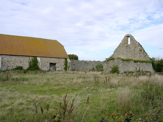 Enclosure in Grange (ballyadams By.)Enclosure · 833 yd
 Enclosure in KillabbanEnclosure · 1004 yd
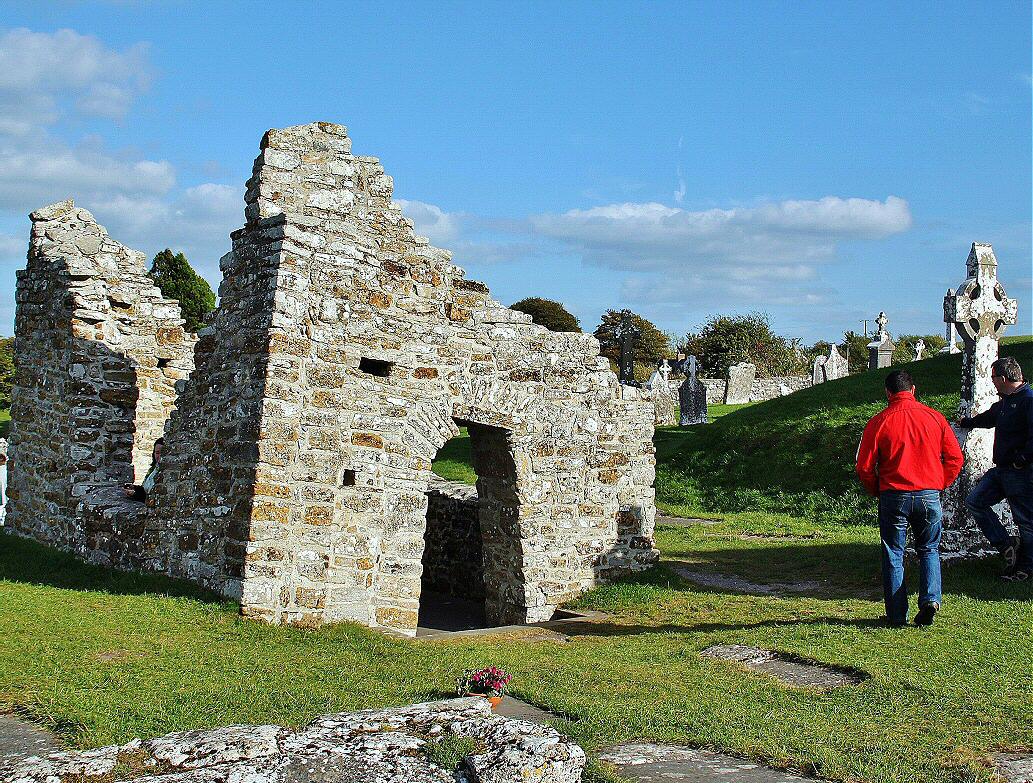 Monastery (in ruins)Religious house, unclassified · 1201 yd
 Castle in ruinsCastle, unclassified · 1.2 mi
 Pedunculate OakPedunculate Oak · 2.0 mi
 Castle (in ruins)Castle, tower house · 2.0 mi
 Church (in ruins), GraveyardChurch · 3.3 mi
 European Crab AppleEuropean Crab Apple · 3.8 mi
 Killeshin ChurchVisitor information · 4.1 mi
 Lorcán Ó TuathailMemorial · 4.4 mi
 VISUAL Centre for Contemporary ArtGallery · 4.8 mi
Other information
Photo: Credit not shown in the picture search · Rights wording not checked; contact us if this picture should be removed