
What is recorded here
Located on a W-facing slope in an isolated place known locally as McGuinness’ Rocks. A small rectangular structure (dims c. 15m E-W; c. 10m N-S) with a return (dims c. 5m N-S; c. 5m E-W) at the W end of the N wall is depicted on the 1834 edition of the OS 6-inch map. There is a local tradition (IFS Schools Mss (939) 236) that it was a church and a school, for which see this web-page accessed on 29/05/2018: https://www.duchas.ie/en/cbes It is thought to have been in use until St Mary’s Roman Catholic church which is c. 700m to the ESE was built in 1823. The foundations (Wth 0.75m; H 0.1-1.2m) of a rectangular structure (int. dims 12m E-W; 6m N-S) with a return (int. dims 4.3m E-W; c. 3m N-S) at N survive in interrupted sections against a rock outcrop cliff at W.
The above description is derived from the published 'Archaeological Inventory of County Monaghan' (Dublin: Stationery Office, 1986). In certain instances the entries have been revised and updated in the light of recent research.
Revised by: Michael Moore
Date of revision: 19 June 2018
A local church or high cross; wider significance not recorded.
The monument record does not grant public access. Check the route and ask the landowner before entering private land.
- What survives
- Recorded monument
Places near here
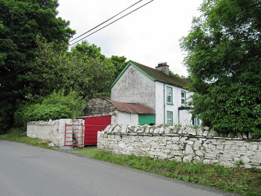 farmyard complexfarmyard complex · 268 yd
 presbytery/parochial/curate's housepresbytery/parochial/curate's house · 420 yd
 IndicatedCrannog · 910 yd
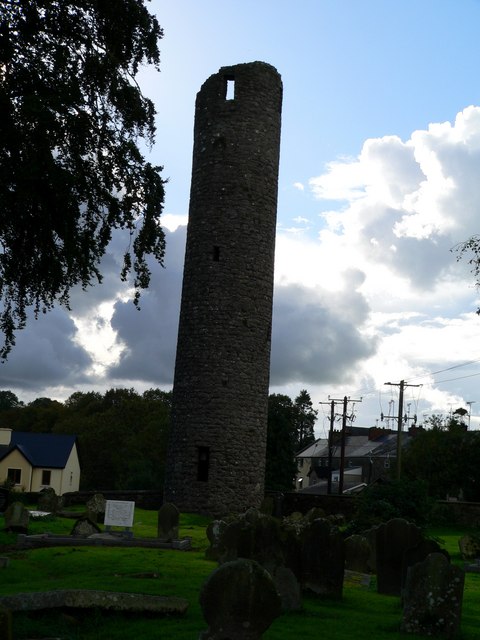 Man-made underground passage in AnveyergMan-made underground passage · 1.2 mi
 AghagashlanMountain / peak · 2.0 mi
 Giant's GraveArchaeological place · 2.3 mi
 Senator Billy Fox 1939 - 1974Memorial · 2.7 mi
 Annsfort MillsWood · 2.9 mi
 Drumlumman Wet WoodlandWood · 3.7 mi
 Fedd HillMountain / peak · 4.0 mi
 Small IslandIsland · 4.7 mi
 Gull IslandIslet · 5.3 mi
Other information
Photo: Credit not shown in the picture search · Rights wording not checked; contact us if this picture should be removed