What is recorded here
Marked 'site of Burial Ground' only on the 1840 ed. of the OS 6-inch map and identified as the early church site of Aughnacilla by Power (1952, 415). Situated on level ground at the W side of a S-N stream, it is not visible at ground level and the location is not precisely known.
Power, Rev. P. (1952) The placenames of the Decies. (second ed.) Cork University Press.
The above description is derived from the published 'Archaeological Inventory of County Waterford' (Dublin: Stationery Office, 1999). In certain instances the entries have been revised and updated in the light of recent research.
Date of upload/revision: 23 December 2008
The monument record does not grant public access. Check the route and ask the landowner before entering private land.
- What survives
- Recorded monument
Places near here
 Site of Aughnakilla Burial GroundBurial ground · 1 yd
 CarrigseegownaMountain / peak · 1060 yd
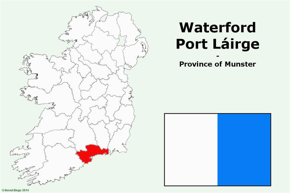 IndicatedFairy fort / earthen ringfort · 1188 yd
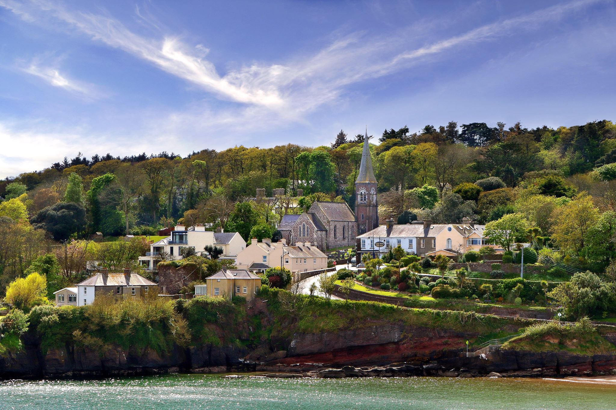 ShauneenabreagaMountain / peak · 1.2 mi
 Water millWater mill, horizontal-wheeled · 1.6 mi
 Glen Poer WoodForest · 1.7 mi
 Curraheen TrailsVisitor information · 2.5 mi
 Pedunculate OakPedunculate Oak · 2.6 mi
 Ballyclohy Castle (in ruins)Castle, tower house · 2.6 mi
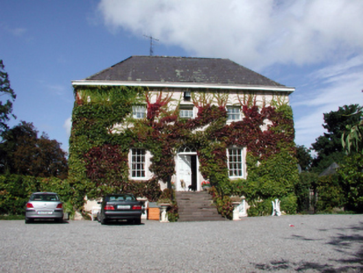 Landscape Househouse · 2.7 mi
 Gurteen CastleCastle · 2.9 mi
 The Prison WaterfallWaterfall · 3.0 mi