What is recorded here
Situated on a shelf on a S-facing slope overlooking the E-W Nier River, c. 370m to the S. Conglomerate stone with a rectangular cross-section (dims. 0.6-0.9m x 0.45-0.65m; H 2.5m) oriented WNW-ESE with an irregular profile at W and a pointed top.
The above description is derived from the published 'Archaeological Inventory of County Waterford' (Dublin: Stationery Office, 1999). In certain instances the entries have been revised and updated in the light of recent research.
Date of upload/revision: 23 December 2008
Probably dates to the Neolithic or Early Bronze Age, given its orientation and location, which may have had ritual or territorial significance. Such stones often marked boundaries, served as waypoints, or were associated with local folklore or ancestral memory.
The monument record does not grant public access. Check the route and ask the landowner before entering private land.
- What survives
- Recorded monument
Places near here
 Fulacht fia in Carrigeen (upperthird By.)Fulacht fia · 300 yd
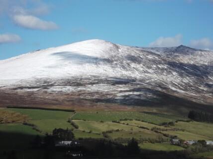 Hut site in KnockanaffrinHut site · 618 yd
 Coumlara LoopWalking route · 929 yd
 Siglloges LoopWalking route · 960 yd
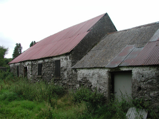 Nell's Cottagefarm house · 1511 yd
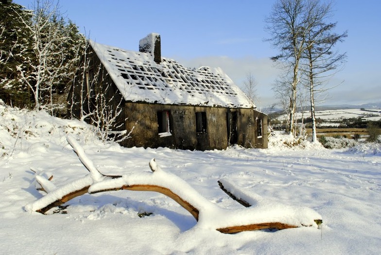 Knockanaffrin South TopMountain / peak · 1.2 mi
 CillChurch · 1.5 mi
 Coumfea North TopMountain / peak · 1.5 mi
 Curraheen TrailsVisitor information · 2.2 mi
 Knocknaree WoodForest · 2.6 mi
 Mahon ValleyCliff · 2.7 mi
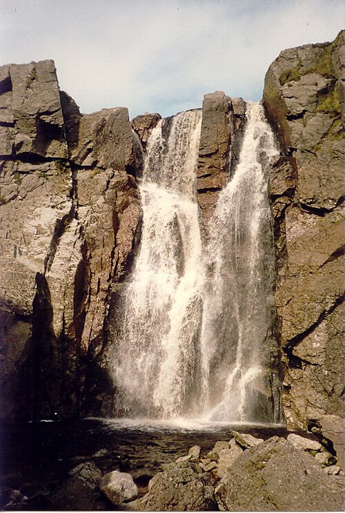 Mahon FallsWaterfall · 2.8 mi